What is recorded here
Mortons and ladders and every living thing in the world will one day be gone. The earth will remain. These rings are still drawing breath in Cavan. They are not dead. They are waiting for the fever to pass. Everything fancy will fade. The old shapes will still stand when the internet, the cameras and the empires have forgotten themselves. That is why they must be seen before they are lost. Not for men. For the world still living inside them.
Situated on a shelf of a SW-facing slope with a N-S ridge rising over it c. 250m to the NE, and immediately NW of the trivallate rath (CV016-095----). This is a D-shaped area in mixed deciduous woodland (dims 38.5m NE-SW; 22m NW-SE) defined by an earthen bank (Wth of base 4.5-4.8m; int. H 0.2-0.4m; ext. H 1.3-1.5m) and an outer fosse (Wth of top 5-5.6m; Wth of base 1-1.2m; ext. D 0.4-0.7m) SW-NW-NE, and a scarp (H 0.9m) S-SW and NE-E to where the perimeter meets the outer fosse of rath (CV016-095----). There is an entrance (Wth of base 2.2m) and causeway (Wth of top 3.2m; H 0.2-0.5m) at NW. The outer earthworks of rath (CV016-095----) truncate the SE part of this monument.
Compiled by: Michael Moore
Date of upload; 27 July 2018
The monument record does not grant public access. Check the route and ask the landowner before entering private land.
- What survives
- Recorded monument
Places near here
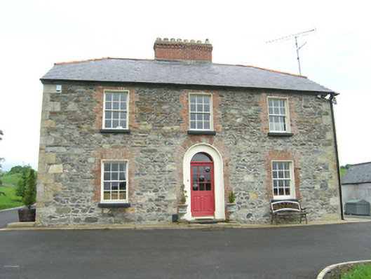 Carnogue Housesteward's house · 474 yd
 Ballyhaise Bridgebridge · 883 yd
 Ballyhaise Ho.Castle, unclassified · 943 yd
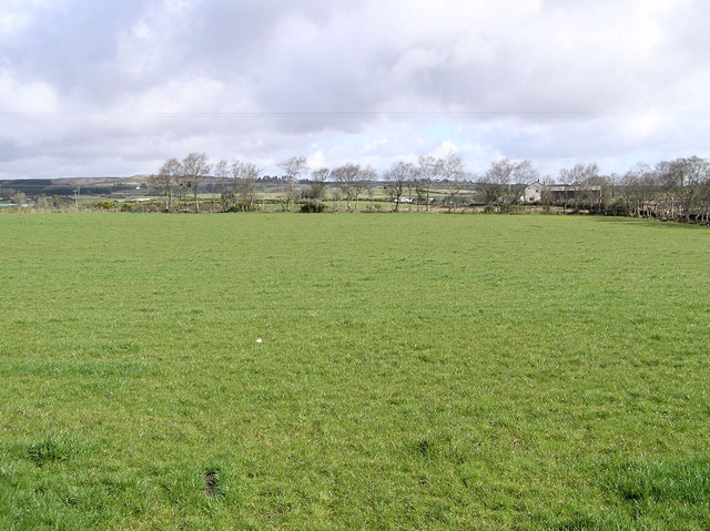 Enclosure in CarrickmoreEnclosure · 961 yd
 Agroforestry plotForest · 961 yd
 Garden IsleIslet · 1009 yd
 IndicatedHilltop enclosure · 1173 yd
 ArdamaghMountain / peak · 1200 yd
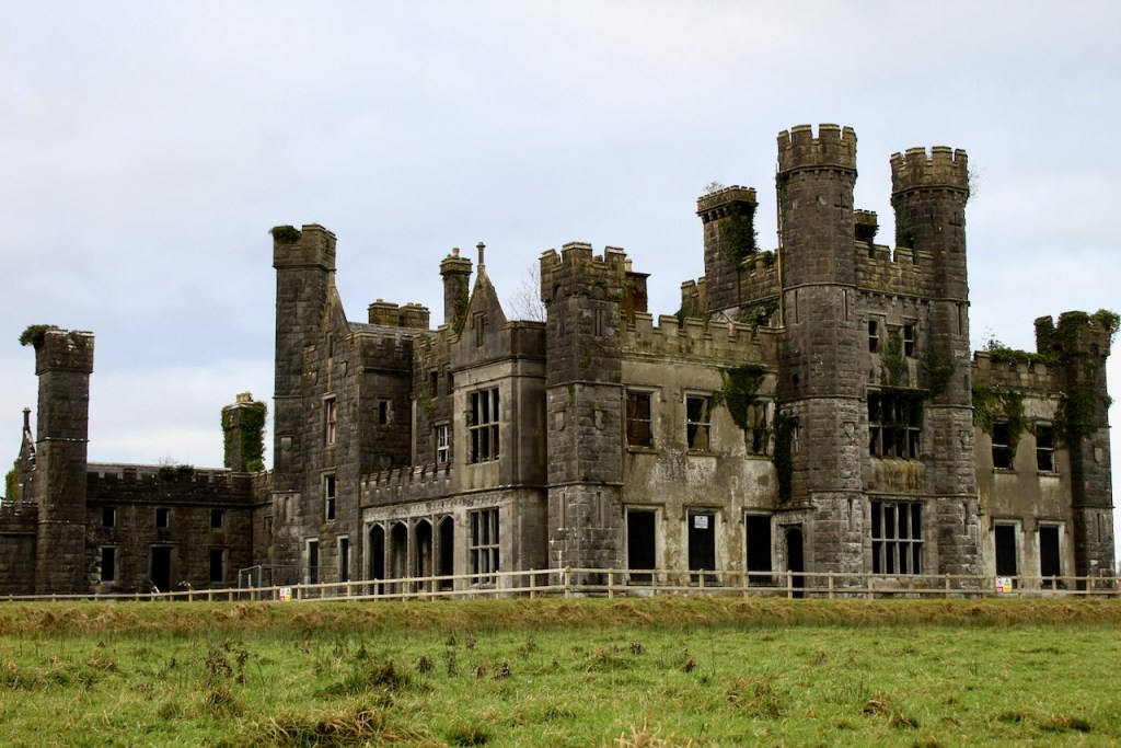 CastleCastle, unclassified · 1305 yd
 Annaghduff Wet WoodlandForest · 1757 yd
 CorgarveMountain / peak · 1.0 mi
 Giants GraveArchaeological place · 3.3 mi