What is recorded here
Three earthen banks and three fosses form a circular rath in mixed deciduous woodland on a SW-facing slope in Lisnagowan, County Cavan. A narrow entrance cuts through all banks at the lowest point, suggesting people walked causeways across the inner and middle ditches to enter. The outer works truncate an older rath at the north-west, implying the site grew in layers rather than appearing all at once.
Situated on a shelf of a SW-facing slope with a N-S ridge rising over it c. 250m to the NE. This is a circular area in mixed deciduous woodland (diam. 32.6m E-W; 30.7m N-S) defined by three earthen banks and fosses. The inner bank (Wth of base 5.3-7m; int. H 0.9-1.2m; ext. H 2.3-2.8m) is separated by a fosse (Wth of top 6.3m at N to 10.9m at W; Wth of base 1.4-2.8m; ext. D 0.8m at W to 1.3m at E) from a middle bank (Wth of base 5.3m at E to 8.3m at N; ext. H 0.8m at W to 1.5m at E) with a second fosse (Wth of top 4.8-6.8m; ext. D 0.9m at N to 1.5m at E) outside it. A third outer bank (Wth of base 5.3m at E to 7m S-W; ext. H 1.8m at E to 2.8m S-W) has a third outer fosse (Wth of top 5m at N to 8.2m at E; Wth of base 1.2m at N to 3m at E; ext. D 0.6m S-W to 1m at E). Outside the third fosse there is a raised berm (Wth of base 5.9-6.5m; Wth of top 3.7-4m; ext. H 0.6m) SE-W, but it may be a late feature and its outer edge is cut by a S-N relict road at W. The rath (CV016-095001-) is outside the outermost fosse at NW and would probably pre-date the outer earthworks here which truncate it.
There is an entrance through the inner (Wth of base 1.8m), middle (Wth of base 2.7m) and outer (Wth of base 2.8m) banks at SSE, the lowest point of the interior, with causeways across the inner (Wth of top 3m; H 0.2m) and middle (Wth of top 3.2m; H 0.2m) banks.
This is a National Monument in state ownership (No. 616) and it is accessed by a green road through the wood from a farm lane c. 120m to the SW. There is no convenient parking at this point which is c. 250m from a public road further S.
The above description is derived from the published 'Archaeological Inventory of County Cavan' (Dublin: Stationery Office, 1995). In certain instances the entries have been revised and updated in the light of recent research.
Date of upload/revision: 27 July 2018
The monument record does not grant public access. Check the route and ask the landowner before entering private land.
- What survives
- Recorded monument
Places near here
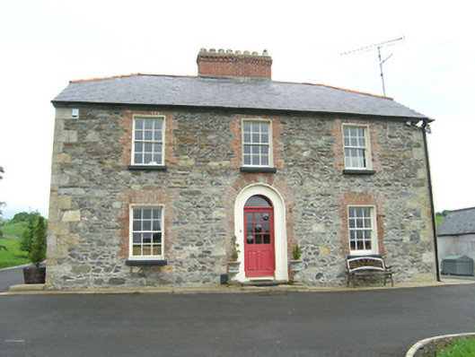 Carnogue Housesteward's house · 415 yd
 Ballyhaise Bridgebridge · 875 yd
 Ballyhaise Ho.Castle, unclassified · 943 yd
 Agroforestry plotForest · 977 yd
 Garden IsleIslet · 997 yd
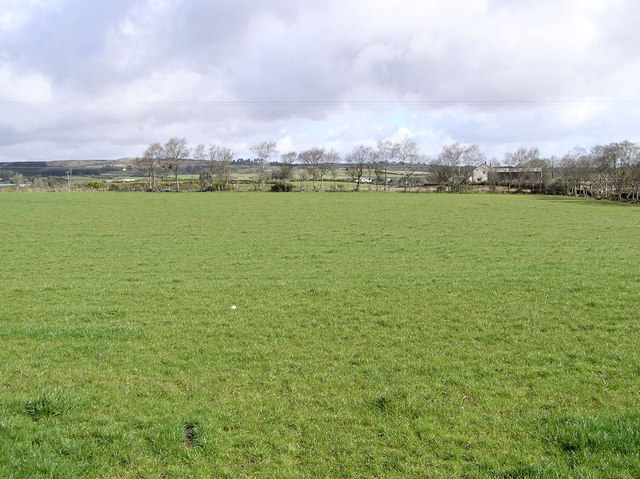 Enclosure in CarrickmoreEnclosure · 1020 yd
 IndicatedHilltop enclosure · 1140 yd
 ArdamaghMountain / peak · 1168 yd
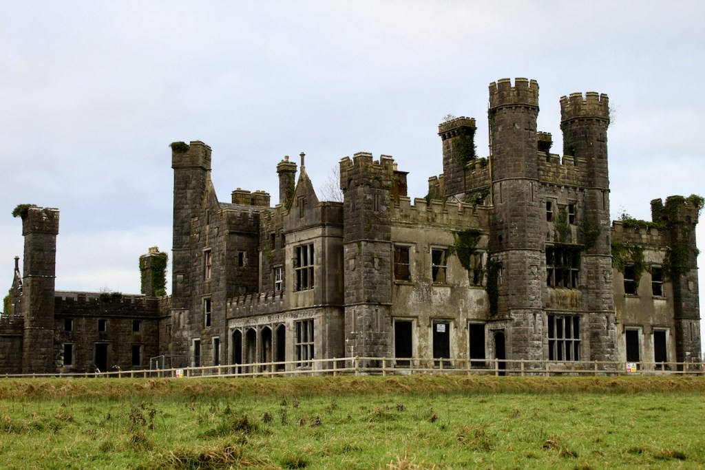 CastleCastle, unclassified · 1339 yd
 CorgarveMountain / peak · 1.0 mi
 Annaghduff Wet WoodlandForest · 1.0 mi
 Giants GraveArchaeological place · 3.3 mi