What is recorded here
Fairy forts are not fairy forts. They are human ringforts, misnamed later. In Lisnacon the earth worked for people, not legends. That much is clear.
In pasture, atop hill. Circular area (46m NE-SW; 44m NW-SE) enclosed by low rise NW->ENE; scarp (H 1m) ESE->NW topped by wire fence. Scarp skirted by roadway. Recorded by Bowman (1934, 324) as single-ramparted fort in Peter O'Riordan's with about one-third of circuit remaining to form boundary fence between two fields (diam. c. 55yd); 'not recorded on the 1841 OM'. According to local information remains of fort levelled c. 1950s.
The above description is derived from the published 'Archaeological Inventory of County Cork. Volume 4: North Cork' (Dublin: Stationery Office, 2000). In certain instances the entries have been revised and updated in the light of recent research.
Date of upload/revision: 14 January 2009
The monument record does not grant public access. Check the route and ask the landowner before entering private land.
- What survives
- Recorded monument
Places near here
 Castle (Site of)Bawn · 943 yd
 Catholic Church of the AnnunciationChurch · 1245 yd
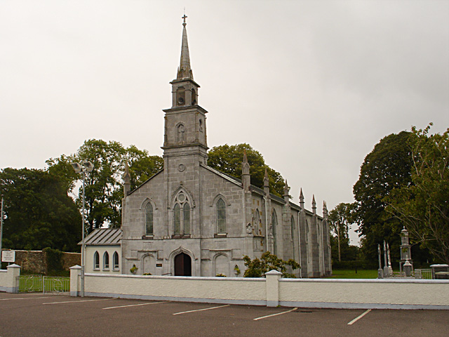 Saint John's Churchchurch/chapel · 1249 yd
 IndicatedGraveyard · 1337 yd
 Burial Ground (Disused)Burial ground · 1373 yd
 Drominagh Castle (Site of)Castle, unclassified · 1.8 mi
 Battle of Knocknaclashybattle · 2.2 mi
 Rathcool WoodWood · 3.4 mi
 Kanturk CastleHeritage attraction · 3.5 mi
 Hanna SheehyMemorial · 3.9 mi
 St Fursey's WellSpring · 4.4 mi
 Mount Hillary - Father Murphy LoopWalking route · 5.1 mi