
What is recorded here
Drominagh Castle stood on a rock outcrop above the Scarradaragh River, held by the O'Keeffe family until mid-17th century forfeiture. No walls remain, but the rock still rises where their house faced the water. The family likely watched rivers, weather and visitors from that height before losing the land. Forgetting has done what siege engines could not, erasing the castle while leaving its shadow on the stones.
On top of a rock outcrop, on E side of Scarradaragh River. No visible remains of castle survive. An O'Keeffe castle (Healy 1988, 334), held by them until forfeited in mid-17th century (Ó Murchadha 1985, 44-5). Not depicted on Down Survey (1655-6) barony map.
The above description is derived from the published 'Archaeological Inventory of County Cork. Volume 4: North Cork' (Dublin: Stationery Office, 2000). In certain instances the entries have been revised and updated in the light of recent research.
Date of upload/revision: 14 January 2009
Drominagh Castle was built and held by the O'Keeffe family, an influential Gaelic Irish clan, until it was forfeited in the mid-17th century during the upheavals following the Confederate Wars and Cromwellian conquest. Its importance lies in its association with the O'Keeffes, who played a significant role in the political and military history of the region.
The monument record does not grant public access. Check the route and ask the landowner before entering private land.
- What survives
- Recorded monument
Places near here
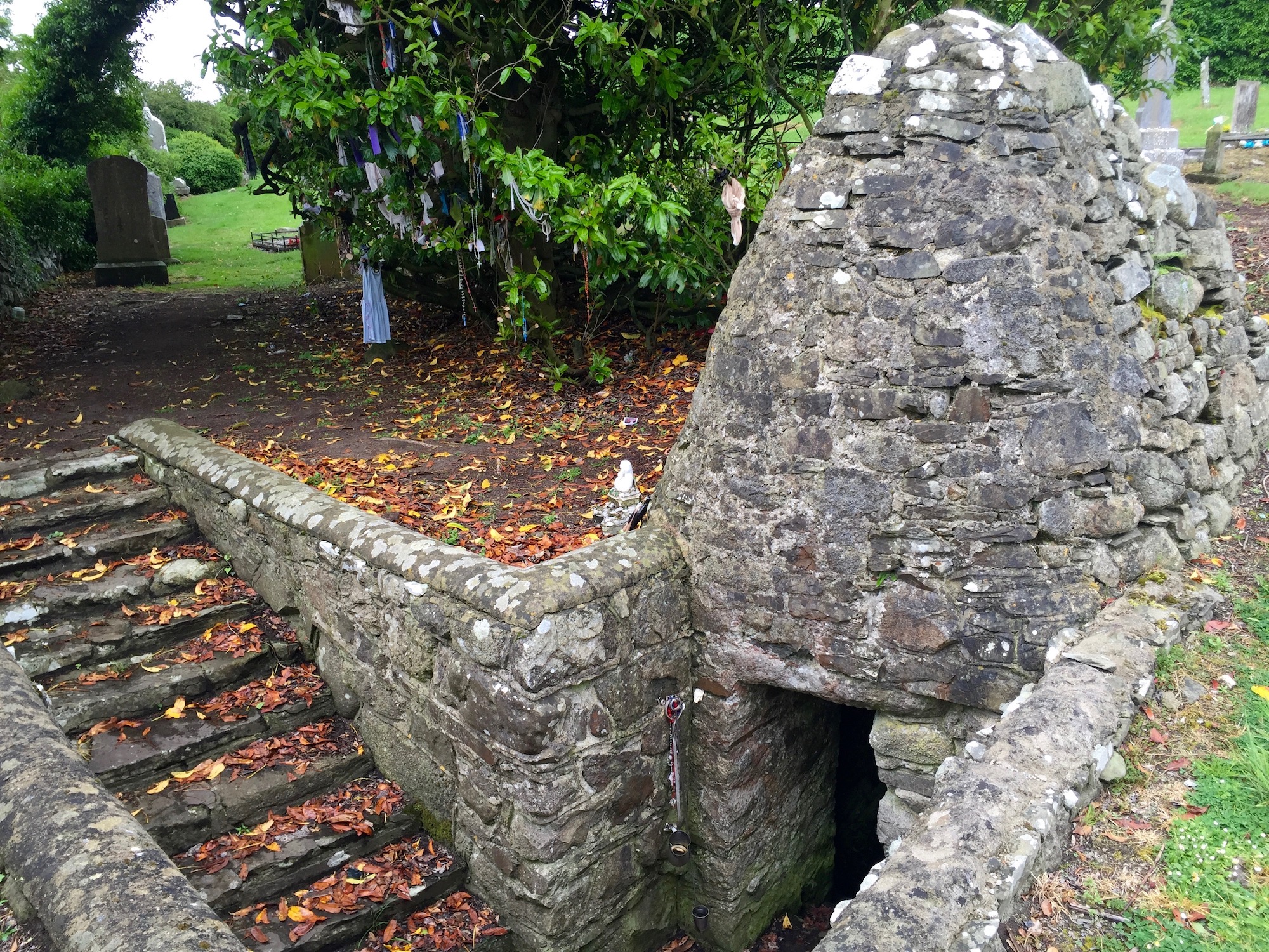 Holy well in Drominagh SouthHoly well · 405 yd
 Drominagh FortEcclesiastical enclosure · 687 yd
 Mine in Drominagh SouthMine · 929 yd
 KilnKiln, lime · 1.0 mi
 Castle (Site of)Bawn · 1.9 mi
 Battle of Knocknaclashybattle · 3.1 mi
 Rathcool WoodWood · 3.4 mi
 CastleCastle, unclassified · 4.0 mi
 Kanturk CastleHeritage attraction · 5.2 mi
 Hanna SheehyMemorial · 5.5 mi
 St Fursey's WellSpring · 6.2 mi
 RowanRowan · 6.4 mi
Other information
Photo: Credit not shown in the picture search · Rights wording not checked; contact us if this picture should be removed