
What is recorded here
The surrounding fence has been removed, the head stones vanished, and the bank reduced to a low ridge, yet the circular ground remains slightly proud of the pasture. That much is record. What the ridge still holds is not record. It is the shape of a place that stopped being tended, not a place that stopped existing.
Not shown on 1842 and 1904 OS 6-inch maps. Shown on 1937 OS 6-inch map as penannular hachured enclosure (diam. c. 15m). In pasture, on gentle S-facing slope. Circular area (diam. 14m) enclosed by almost levelled bank (H 0.3m). Interior clear; group of stones protrudes above surface off-centre to W; some more stones noted in W half. Possible church (14505) in interior. Bowman (1934, 323) noted 'The surrounding fence has been removed. The site is about 30 yards by 20 yards, and is about 2ft higher than the surrounding field level. Head stones were removed from the burial ground about 30 years ago.' (ibid.).
The above description is derived from the published 'Archaeological Inventory of County Cork. Volume 4: North Cork' (Dublin: Stationery Office, 2000). In certain instances the entries have been revised and updated in the light of recent research.
Date of upload/revision: 14 January 2009
Penannular tomb, likely dating to the Early Christian period. Its hachured enclosure and circular layout suggest ritual or burial significance, though details remain unclear due to partial levelling.
This remains an important historical record, but the official description says the monument is no longer visible or has been destroyed. The monument record does not grant public access. Check the route and ask the landowner before entering private land.
- What survives
- No visible remains or recorded as destroyed
Places near here
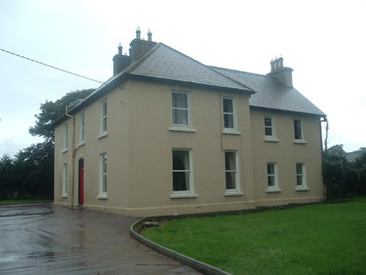 Ardrahan Househouse · 630 yd
 Fulachta FiadhFulacht fia · 1254 yd
 Burial GdBurial ground · 1.2 mi
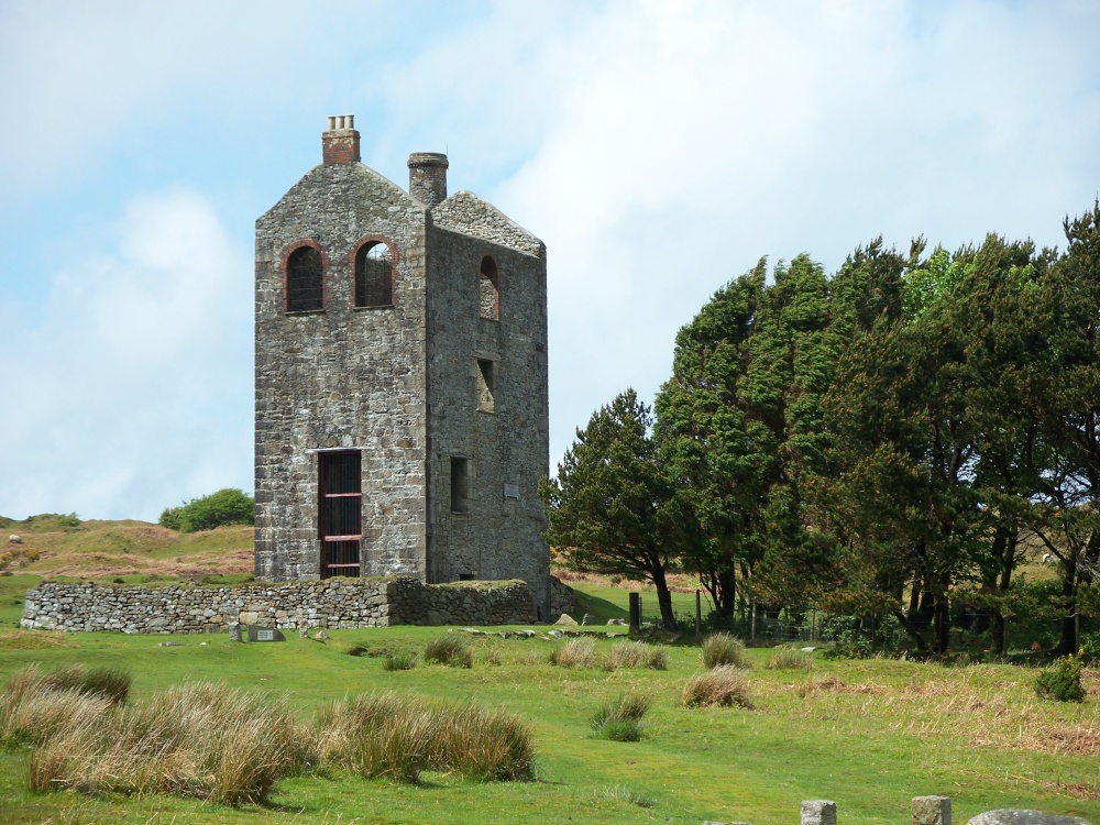 Mine in Drominagh SouthMine · 1.2 mi
 Castle (Site of)Bawn · 1.3 mi
 Drominagh Castle (Site of)Castle, unclassified · 1.7 mi
 Battle of Knocknaclashybattle · 3.0 mi
 Kanturk CastleHeritage attraction · 3.5 mi
 Hanna SheehyMemorial · 3.7 mi
 Rathcool WoodWood · 4.0 mi
 St Fursey's WellSpring · 4.8 mi
 Mount Hillary - Knightfield LoopWalking route · 5.8 mi
Other information
Photo: Credit not shown in the picture search · Rights wording not checked; contact us if this picture should be removed