What is recorded here
From the National Monuments Service (Archaeological Survey of Ireland) record CO022-167
Places near here
Photo credits
- Maker not stated on source page, commons.wikimedia.org
- Maker not stated on source page, www.adequatetravel.com
- Maker not stated on source page, www.pinterest.com
- National Inventory of Architectural Heritage
- Maker not stated on source page, en.wikipedia.org
- Maker not stated on source page, www.wikidata.org
- Maker not stated on source page, www.youtube.com
- The Speckled Bird, Wikimedia Commons · CC BY-SA 4.0
- John Tarrant / The Echo, www.echolive.ie
 Church (Site of)Church · 567 yd
Explorer Tom Church in Derrygalun in County Cork was levelled around 1974, leaving no surface trace at all. The map says it was a…
 Church in Killeenleagh (duhallow By.)Church · 1566 yd
Explorer Tom Church in Killeenleagh in County Cork is doing its best impression of a ghost when nobody's looking. It used to be…
 Standing stone in Killeenleagh (duhallow By.)Standing stone · 1566 yd
Explorer Tom Killeenleagh’s standing stone was broken and removed by a farmer ages ago. It’s sick of being asked 'where did you go?'…
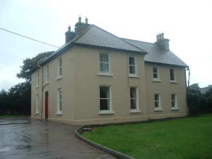 Ardrahan HouseHouse · 1.0 mi
Explorer Tom Ardrahan House in Knockardrahan is holding onto its timber door like it’s a golden ticket, though I bet the sash…
 Church in Killinane (duhallow By., Dromtarriff Par.)Church · 1.2 mi
Explorer Tom Church in Killinane in County Cork describes itself as 'a very subtle mound that used to be a church.' It’s basically a…
 Holy well in Ballyhoolahan EastHoly well · 1.3 mi
Explorer Tom Holy well in Ballyhoura is known as the well of St Lachtain, but nobody knows the exact location anymore. It was…
 Kilmeen Church (Site of)Church · 1.3 mi
Explorer Tom Kilmeen Church in Ballyhoolahan East is gone, replaced by graves, which the rabbits probably find hilarious. It was…
 Fairy fort / earthen ringfort in Ballyhoolahan MiddleFairy fort / earthen ringfort · 1.8 mi
Explorer Tom Fairy fort / earthen ringfort in Ballyhoolahan Middle is marked by yellow grass, which is nature’s way of saying 'stay…
 Kanturk Castle GroundsPark · 2.9 mi
Explorer Tom Kanturk Castle Grounds got into a massive feud with the next village over whether a specific fence post was leaning to…
 Kanturk CastleHeritage attraction · 2.9 mi
Explorer Tom Kanturk Castle in County Cork has a bird that refuses to leave no matter how much you wave at it. The castle itself is…
 Castle (Site of)Castle, unclassified · 3.1 mi
Explorer Tom Castle in Curragh is in a rivalry with its more famous namesake across the county, standing on the Allow River bank…
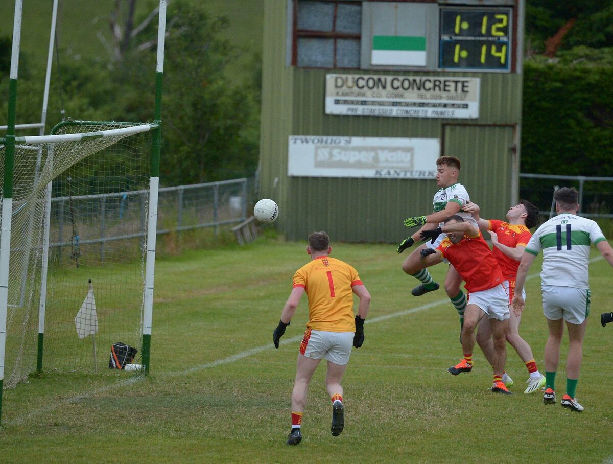 Kanturk GAA pitchGAA ground · 3.2 mi
More archaeology and monuments in County Cork · All of County Cork

What do you know about this place?Tap to add a comment or ask a question