What is recorded here
Lisnaboy and elsewhere in Ireland, people called these rings fairy forts because they suspected the fort belonged to someone smaller, quicker and less honest than a human family. That is not a joke about ignorance. It is a warning about shape: when a place holds life but refuses to explain itself, it may be better off unowned. Under that thinking, the chamber is not empty. It is occupied by a presence too fast, thin or strange for human tools.
Located towards the bottom of a SE-facing slope. This is a subcircular grass-covered area (dims 41m NW-SE; 35m NE-SW) that slopes down to the S. It is defined by a grass-covered earthen bank (at NE: Wth of base 2.3m; Wth of top 1.2m; int. H 0.4m; ext. H 0.7m) with some bushes that is largely reduced to a scarp down to the interior NW-NE and an external scarp elsewhere. There is no visible fosse but the entrance (Wth c. 3.2m) is at SSE.
The above description is derived from the published 'Archaeological Inventory of County Meath' (Dublin: Stationery Office, 1987). In certain instances the entries have been revised and updated in the light of recent research.
Compiled by: Michael Moore
Date of revision: 31 August 2018
The monument record does not grant public access. Check the route and ask the landowner before entering private land.
- What survives
- Recorded monument
Places near here
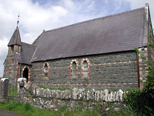 Saint Columba's Church (Moybolgue)church/chapel · 810 yd
 IndicatedConcentric enclosure · 1013 yd
 Fulacht fia in AgheraghFulacht fia · 1541 yd
 TeevurcherMountain / peak · 1699 yd
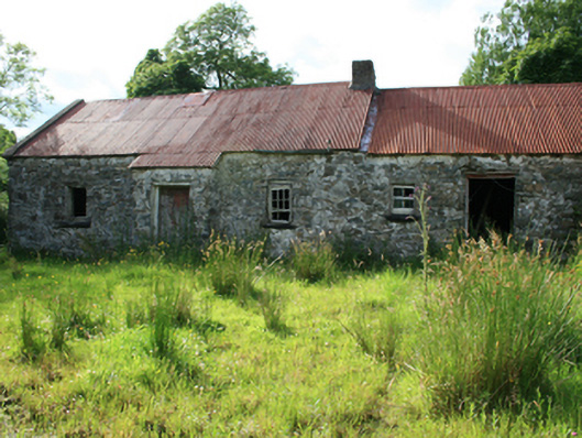 farm housefarm house · 1.5 mi
 Blackhills LowerMountain / peak · 1.8 mi
 MoatCastle, motte and bailey · 2.2 mi
 LoughanleaghForest · 2.2 mi
 Tullynaskeagh EastForest · 2.3 mi
 Castle in ruinsCastle, unclassified · 2.5 mi
 Fair of MuffMemorial · 2.6 mi
 Giants GraveArchaeological place · 4.2 mi