What is recorded here
Ml. O'Sullivan's farmyard sits on the buried remains of a thirty-metre earthen ringfort. Men built stable walls above the ancient rampart, erasing the fort's shape while keeping its land alive. The fairy fort lost its visible circle but never stopped occupying the place where daily life continues.
In farmyard. Depicted as hachured circular enclosure (diam. c. 30m) on 1842 OS 6-inch map, skirted by field boundary SE->W, S portion hachured. Levelled; farm buildings built on site. Recorded by Bowman (1934, 193) as levelled, single-ramparted fort (diam. c. 32yd) on Ml. O'Sullivan's land.
The above description is derived from the published 'Archaeological Inventory of County Cork. Volume 4: North Cork' (Dublin: Stationery Office, 2000). In certain instances the entries have been revised and updated in the light of recent research.
Date of upload/revision: 14 January 2009
The monument record does not grant public access. Check the route and ask the landowner before entering private land.
- What survives
- Recorded monument
Places near here
 Fulacht fia in LismeelcunninFulacht fia · 584 yd
 KilnKiln, lime · 917 yd
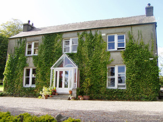 The Rectoryrectory/glebe/vicarage/curate's house · 1134 yd
 Burial GroundBurial ground · 1560 yd
 Hanna SheehyMemorial · 1.5 mi
 Kanturk CastleHeritage attraction · 2.0 mi
 Stanner's Glen, Priory WoodWood · 3.2 mi
 Castle McAuliffe (Site of)Castle, unclassified · 3.3 mi
 Castle (Site of)Bawn · 3.6 mi
 Burial ground in AssolasBurial ground · 4.2 mi
 St Fursey's WellSpring · 4.2 mi
 European YewEuropean Yew · 4.5 mi