What is recorded here
Fairy fort in Lislin, County Cavan: a circular earthen ring, 41 metres across, sat on the southeast slope of a drumlin hill near the top. People lived or gathered there before machines came. In the early 1960s land reclamation levelled it, but the perimeter still shows as a faint line in the ground. The hill kept its shape; the fort lost its wall. What remains is a shadow of a room large enough for humans, or a trap large enough for notice.
Site was levelled in the early 1960s during land reclamation. Outline of perimeter may still be traced enclosing a circular area (diam. int. 41m). Situated on the SE slope of a drumlin hill, close to the summit.
The above description is derived from the published 'Archaeological Inventory of County Cavan' (Dublin: Stationery Office, 1995). In certain instances the entries have been revised and updated in the light of recent research.
Date of upload/revision: 22 December 2008
A fairy fort or earthen ringfort in Lislin, likely dating to the early medieval period, was levelled in the early 1960s during land reclamation; its circular outline, enclosing about 41 metres in diameter, may still be traced on the SE slope of a drumlin hill. Local tradition associates such sites with fairy lore, and they were often regarded as sacred or supernatural places in Irish folklore.
The monument record does not grant public access. Check the route and ask the landowner before entering private land.
- What survives
- Recorded monument
Places near here
 CastleCastle, unclassified · 285 yd
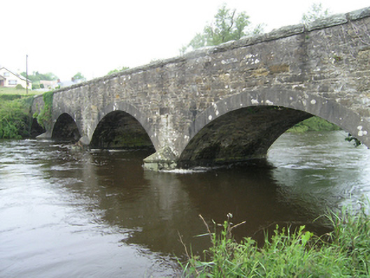 Ballynallon Bridgebridge · 801 yd
 Church in KilmacnoranChurch · 1196 yd
 Drumcarn Ho.Castle, unclassified · 1.2 mi
 Ceremonial enclosure in NeddaiaghCeremonial enclosure · 1.6 mi
 CorgarveMountain / peak · 1.8 mi
 IndicatedFairy fort / earthen ringfort · 1.9 mi
 Giant's GraveArchaeological place · 1.9 mi
 ArdamaghMountain / peak · 1.9 mi
 Garden IsleIslet · 2.6 mi
 Rookery WoodForest · 2.8 mi
 Agroforestry plotForest · 2.8 mi