What is recorded here
Marianne Ryley and I walked the fort at Lislin on Saturday. We went around the outside, not across the middle. The river had taken part of the bank, but the ring still stood above the water. Marianne touched the grassy edge and said the fort was still holding its shape. I agreed. The place was not asking to be judged. It was asking to be seen without fear.
Raised subtriangular area (int. dims. 35.4m ENE-WSW; 23.2m NNW-SSE) defined by the River Annalee from SSE-S-WSW and elsewhere enclosed by a low earthen bank with wide, shallow external fosse which has been partially destroyed as a result of flooding. Original entrance not recognisable.
The above description is derived from the published 'Archaeological Inventory of County Cavan' (Dublin: Stationery Office, 1995). In certain instances the entries have been revised and updated in the light of recent research.
Date of upload/revision: 22 December 2008
The monument record does not grant public access. Check the route and ask the landowner before entering private land.
- What survives
- Recorded monument
Places near here
 Church in KilmacnoranChurch · 599 yd
 CastleCastle, unclassified · 622 yd
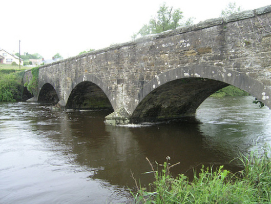 Ballynallon Bridgebridge · 1278 yd
 Drumcarn Ho.Castle, unclassified · 1.2 mi
 CorgarveMountain / peak · 1.4 mi
 ArdamaghMountain / peak · 1.7 mi
 Ceremonial enclosure in NeddaiaghCeremonial enclosure · 1.8 mi
 IndicatedFairy fort / earthen ringfort · 2.0 mi
 Giant's GraveArchaeological place · 2.2 mi
 Garden IsleIslet · 2.3 mi
 Agroforestry plotForest · 2.5 mi
 Castleterra ForestForest · 2.5 mi