What is recorded here
Located on a S-facing slope. Circular grass-covered area (diam. S4m N-S; 5Om E-W) defined by an overgrown earthen bank (Wth 7-9.5m; into H 0.6-1.Sm; ext. H 1.7-1.9m). The entrance (Wth 5rn) is at ESE and there are two possible hut sites in the interior. There is no visible fosse.
The above description is derived from the published 'Archaeological Inventory of County Waterford' (Dublin: Stationery Office, 1999). In certain instances the entries have been revised and updated in the light of recent research.
Date of upload/revision: 23 December 2008
The monument record does not grant public access. Check the route and ask the landowner before entering private land.
- What survives
- Recorded monument
Places near here
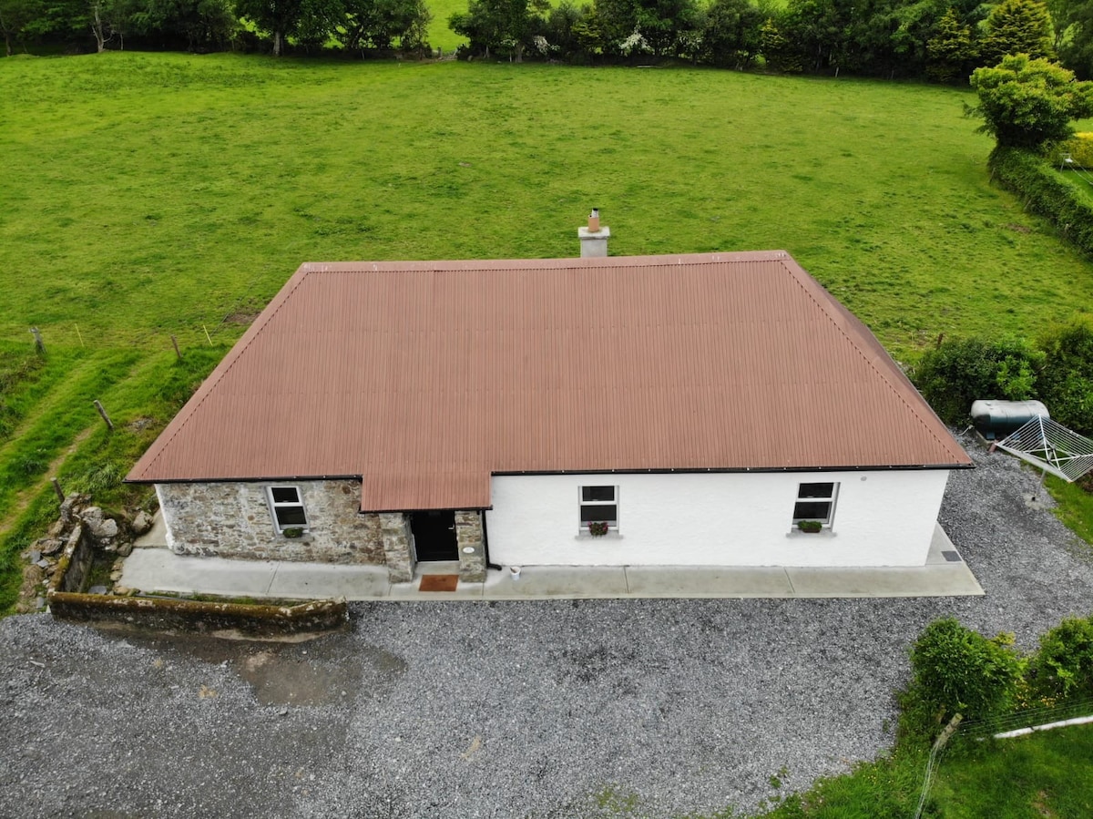 Hut site in LisleaghHut site · 1 yd
 Faint enclosureFairy fort / ringfort · 837 yd
 St. Orans Church (in ruins)Church · 1711 yd
 Sliabh gCuahouse · 1.4 mi
 BroemountainMountain / peak · 2.6 mi
 KnocknasheegaMountain / peak · 2.8 mi
 Glenshelane WoodsForest · 3.6 mi
 Glenshelane Red WalkWalking route · 3.9 mi
 Curraghcloney CastleCastle · 4.2 mi
 Abbey (in ruins)Castle, tower house · 4.5 mi
 Coillte infoboardVisitor information · 4.6 mi