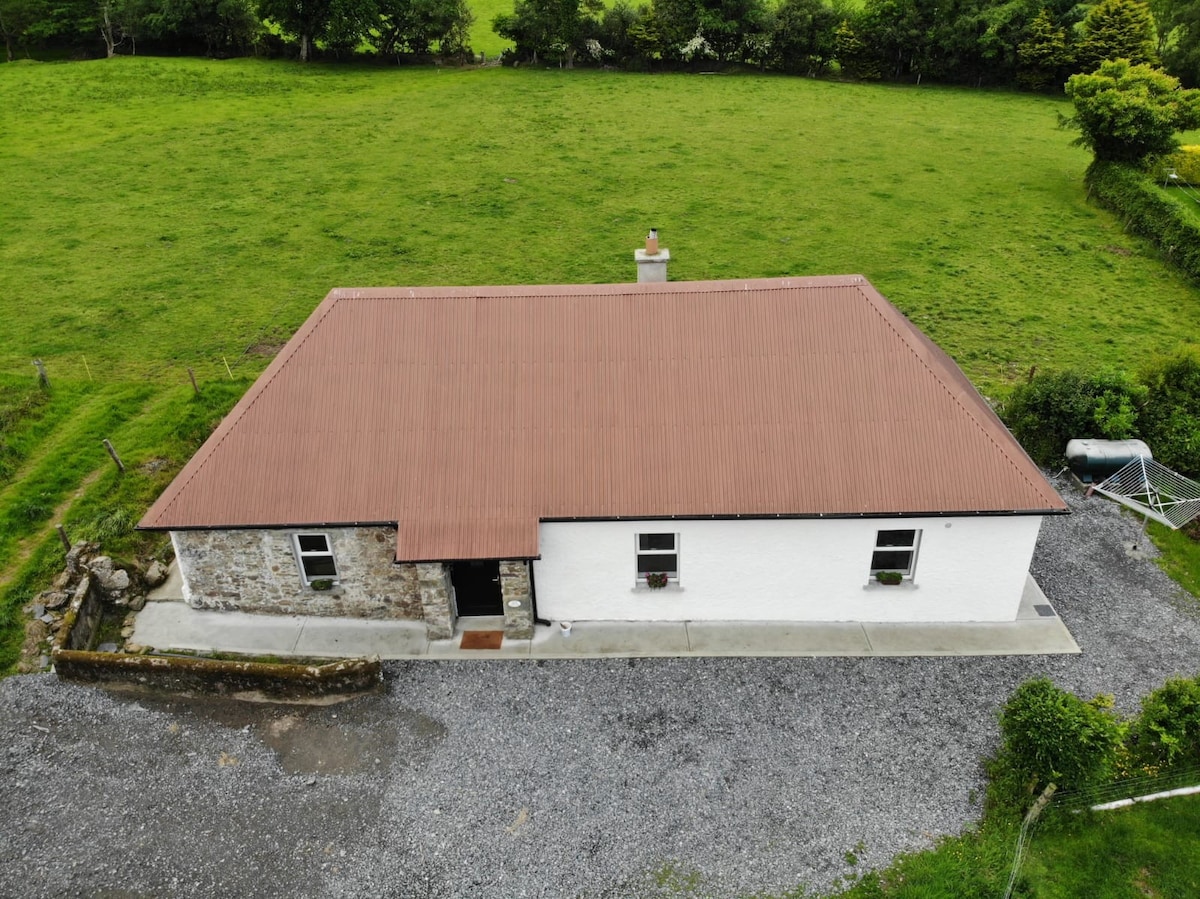
What is recorded here
Located on a S-facing slope. There are two possible hut sites in the interior of rath (WA022-003001-).
Compiled by: Michael Moore. Date of upload: 23rd March, 2011.
The monument record does not grant public access. Check the route and ask the landowner before entering private land.
- What survives
- Recorded monument
Places near here
 Faint enclosureFairy fort / ringfort · 837 yd
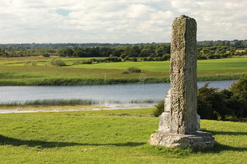 Stone CrossCross, High cross · 1300 yd
 St. Orans Church (in ruins)Church · 1711 yd
 Sliabh gCuahouse · 1.4 mi
 BroemountainMountain / peak · 2.6 mi
 KnocknasheegaMountain / peak · 2.8 mi
 Glenshelane WoodsForest · 3.6 mi
 Glenshelane Red WalkWalking route · 3.9 mi
 Curraghcloney CastleCastle · 4.2 mi
 Abbey (in ruins)Castle, tower house · 4.5 mi
 Coillte infoboardVisitor information · 4.6 mi
Other information
Photo: Credit not shown in the picture search · Rights wording not checked; contact us if this picture should be removed