What is recorded here
Death and decay transform the world. The container holds the shape of what is lost. The chamber holds the shape of what is remembered.
In pasture, on S-facing slope immediately to S of E-W roadway. Roughly circular area (c. 46m N-S; c. 43.6m E-W) defined by earthen bank (int. H 0.55m; ext. H 0.65m) SSW->NNW and scarp (H 0.6m) NNE->SSW; outer earthen bank (H 0.7m) WNW->NNW. To N, sunken, waterfilled area cuts through inner bank and extends across area of outer bank to roadway. Interior surface uneven; W half used as dumping ground for old cars.
The above description is derived from the published 'Archaeological Inventory of County Cork. Volume 4: North Cork' (Dublin: Stationery Office, 2000). In certain instances the entries have been revised and updated in the light of recent research.
Date of upload/revision: 14 January 2009
The monument record does not grant public access. Check the route and ask the landowner before entering private land.
- What survives
- Recorded monument
Places near here
 Fulacht Fiadh (Site of)Fulacht fia · 762 yd
 Fulacht fia in Island (duhallow By.)Fulacht fia · 764 yd
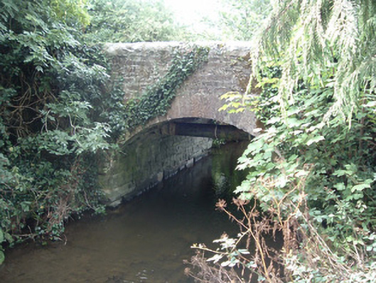 Allensbridgebridge · 1214 yd
 Allen's Bridgebridge · 1301 yd
 Castle McAuliffe (Site of)Castle, unclassified · 1.5 mi
 CastleCastle, unclassified · 1.5 mi
 Stanner's Glen, Priory WoodWood · 2.5 mi
 Hanna SheehyMemorial · 3.2 mi
 Kanturk CastleHeritage attraction · 3.8 mi
 Burial ground in AssolasBurial ground · 5.9 mi
 St Fursey's WellSpring · 6.0 mi
 European YewEuropean Yew · 6.2 mi