What is recorded here
Half-hidden in Limerick pasture, the Lickadoon ringfort keeps its shape despite maps forgetting it. Earth and scrub have swallowed part of the boundary, yet a shallow cut and raised bank still mark the edge of an old human home. It is the kind of place where ordinary fields become witnesses, preserving a lost shape that measurement alone cannot explain.
Situated immediately N of a stream in a sheltered location in undulating rolling pasture with moderate views to N, E and W. The monument is depicted on the 1840 OS six-inch map as a circular enclosure (diam. 40m) but on the 1924 OS 6-inch map the enclosing element is missing NE to S. The enclosure is now partially obscured by scrub vegetation but is evident as a sub-oval area (47.7m N-S; 39m E-W) defined by a scarped edge (int. H 0.2m; Wth 1.9m; ext. H 0.3-0.7m) S to NW and by a very gentle scarp NW to S. A fosse (Wth 1.8m) and a counterscarp bank (Wth 2m; ext. H 0.5m) are evident in the NW. The interior slopes down gently to the SE.
Compiled by: Denis Power
Date of upload: 28 May 2013
The monument record does not grant public access. Check the route and ask the landowner before entering private land.
- What survives
- Recorded monument
Places near here
 MillMill, unclassified · 357 yd
 Lickadoon Castle (in ruins)Castle, tower house · 451 yd
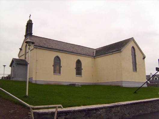 Saint Patrick's Catholic Churchchurch/chapel · 739 yd
 Enclosure in DrombannyEnclosure · 1512 yd
 Burial ground in KnockeaBurial ground · 1545 yd
 Bawn in Raheen (clanwilliam By., Roxborough Ed)Bawn · 1.0 mi
 ToberauillinSpring · 1.9 mi
 Campus MapVisitor information · 4.6 mi
 Visitor CentreVisitor information · 4.6 mi
 Fountain SculptureHeritage attraction · 4.6 mi
 Graveyard in AbingtonGraveyard · 7.0 mi
 Lickadoon Castlecountry house · 1029 yd