What is recorded here
Leons Beg, County Monaghan. Thirty-eight metres of grass and dirt, a hedge leaning on the bank like it is tired of holding the sky up. Three gaps in the ring, none original, as if the fort keeps forgetting where its doors go. McCrea drew it in 1773, which means people were already walking past it, perhaps entering it, perhaps arguing about whose field it blocked. The fairies may have built it, or people may have built it and called them fairies because the shape did not explain itself.
Situated on a low hill. This rath is depicted on McCrea’s map of County Monaghan (1773). It is a circular grass-covered area (diam. 38m NW-SE; int. diam. 33.5m NW-SE) defined by an earthen bank (Wth 5-6.5m; int. H 0.3-1m; ext. H 1.2-1.5m) supporting a hedge SE-NW, and with slight traces of an outer fosse (D 0.1-0.3m) all around. There are entrance gaps at NW, NE, and SE, but none appear to be original.
The above description is derived from the published 'Archaeological Inventory of County Monaghan' (Dublin: Stationery Office, 1986). In certain instances the entries have been revised and updated in the light of recent research
Date of revision: 17 June 2017
The monument record does not grant public access. Check the route and ask the landowner before entering private land.
- What survives
- Recorded monument
Places near here
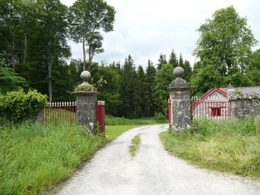 Lough Fea Housedemesne walls/gates/railings · 755 yd
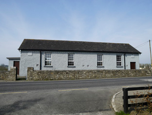 Carrickashedoge National Schoolschool · 806 yd
 IndicatedFairy fort / earthen ringfort · 1574 yd
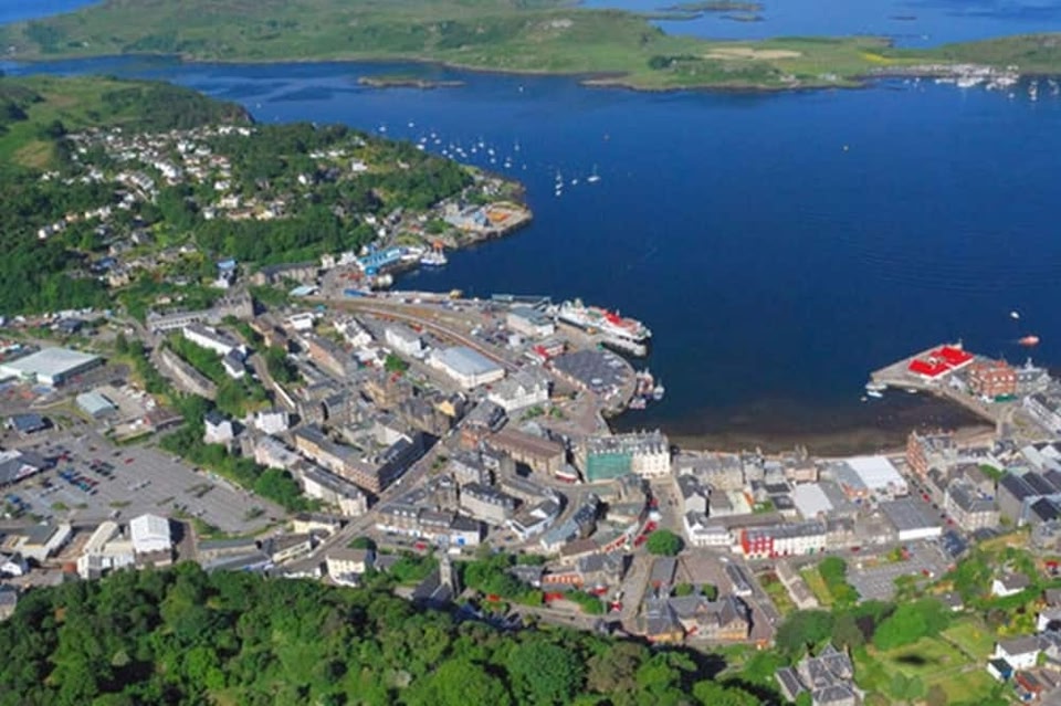 Campbells fortFairy fort / earthen ringfort · 1.2 mi
 Monkey-puzzleMonkey-puzzle · 1.9 mi
 European BeechEuropean Beech · 2.2 mi
 Flat cemetery in AnnaheanFlat cemetery · 2.5 mi
 Lagan castleCastle, tower house · 2.7 mi
 BarleyhillMountain / peak · 2.9 mi
 The MountCastle, motte and bailey · 3.5 mi
 Natural Play AreaMemorial · 3.7 mi
 CabraMountain / peak · 3.9 mi