What is recorded here
Magic and myth may dance around it, but measurement shows a human hand. The site holds a raised circular area about thirty-four metres across, bounded by two low earthen banks separated by a wide berm ten to twelve metres broad, with a partly waterlogged ditch outside. Much of the outer edge has surrendered to modern field boundaries, and the inner bank has been levelled on one side, yet its line can still be traced. The entrance has vanished, leaving the fort like a room whose door was forgotten.
Raised circular area (int. diam. c. 34m) enclosed by two low earthen banks with intervening wide berm (Wth 10-12m) and a partly waterlogged external fosse. A modern field boundary replaces the fosse from NW-N-ESE. External bank also replaced by field boundary throughout most of its circuit. Inner bank levelled from WNW-N-ESE but outline may still be traced. Original entrance not recognisable.
The above description is derived from the published 'Archaeological Inventory of County Cavan' (Dublin: Stationery Office, 1995). In certain instances the entries have been revised and updated in the light of recent research.
Date of upload/revision: 22 December 2008
The monument record does not grant public access. Check the route and ask the landowner before entering private land.
- What survives
- Recorded monument
Places near here
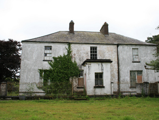 rectory/glebe/vicarage/curate's houserectory/glebe/vicarage/curate's house · 643 yd
 CastleCastle, motte · 1291 yd
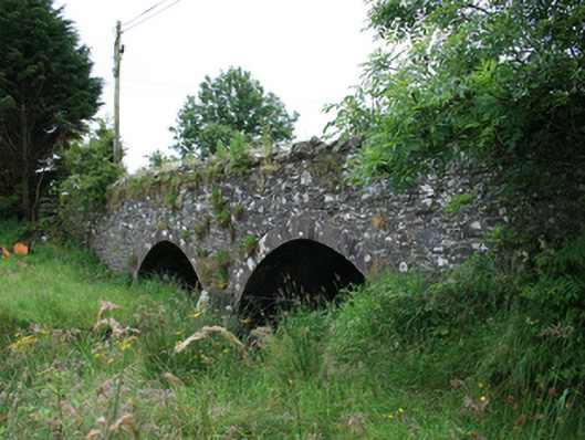 Wilton Bridgebridge · 1357 yd
 Tullynaskeagh WestForest · 1.0 mi
 Tullynaskeagh EastForest · 1.1 mi
 Blackhills LowerMountain / peak · 1.3 mi
 CarnagarveMountain / peak · 1.7 mi
 MoatCastle, motte and bailey · 2.0 mi
 EnclosureEnclosure, large enclosure · 2.0 mi
 In Memory of Patrick KiernanMemorial · 2.1 mi
 Brothers GravesVisitor information · 2.2 mi
 Fulacht fia in AgheraghFulacht fia · 2.2 mi