What is recorded here
Half-hidden under grass and bracken, the ringfort still holds its shape: a raised circle, a broken bank, a causeway pointing north-east, and a deep hollow where rain collects. It is the kind of place people once lived, loved, argued and forgot, while cattle drank from its widened hollow and children ran across its causeway. Fairy fort is a nickname born of wonder, but the earth remembers ordinary life: hands shaping soil, fire smoking inside, feet wearing the path flat.
Raised circular area (int. diam. 36.8m) enclosed by an earthen bank and a wide, deep fosse, waterlogged from NNW-E-SSE and broadened to form a watering-hole for cattle at SSE. Bank barely rises above the internal area from ENE-E-S. Break in bank with accompanying causeway at NNE represents original entrance.
The above description is derived from the published 'Archaeological Inventory of County Cavan' (Dublin: Stationery Office, 1995). In certain instances the entries have been revised and updated in the light of recent research.
Date of upload/revision: 22 December 2008
The monument record does not grant public access. Check the route and ask the landowner before entering private land.
- What survives
- Recorded monument
Places near here
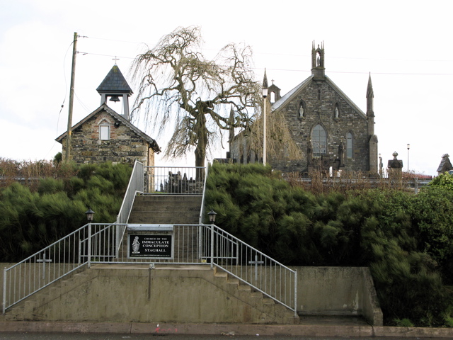 Church in MagherintempleChurch · 824 yd
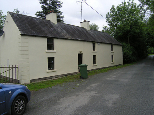 miller's housemiller's house · 1140 yd
 BarrowBarrow, ring-barrow · 1491 yd
 IndicatedFairy fort / earthen ringfort · 1.1 mi
 CorrakeeranMountain / peak · 1.4 mi
 LattacrossanMountain / peak · 1.5 mi
 Embanked enclosureBawn · 1.5 mi
 Drumcarn Ho.Castle, unclassified · 2.6 mi
 Cush WoodWood · 2.7 mi
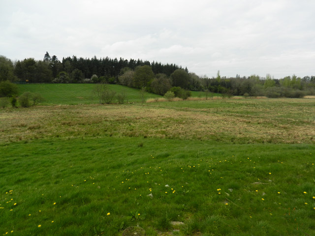 Carn WoodForest · 2.8 mi
 Giant's GraveArchaeological place · 3.1 mi
 Garden IsleIslet · 4.9 mi