What is recorded here
Latinalbany holds a subcircular earthen ring on a drumlin crest, its bank swallowed by hedges and drains while a true ringfort waits fifty metres north-west. The fort has lost its shape to farming, but the earth still marks the boundary between human ownership and fairy exclusion.
Situated at the crest of the E-facing slope of a broad drumlin. This is a subcircular grass-covered area (dims 37.7m NW-SE; 33.2m NE-SW) defined by an earthen bank (at SE: Wth of base 2.3m; Wth of top 1.1m; int. H 0.4m; ext. H 1) that is incorporated into a field bank and hedge with an outer drain SE-W-N. The site of ringfort (MO031-064----) is c. 50m to the NW.
The above description is derived from the published 'Archaeological Inventory of County Monaghan' (Dublin: Stationery Office, 1986). In certain instances the entries have been revised and updated in the light of recent research.
Date of revision: 31 July 2017
The monument record does not grant public access. Check the route and ask the landowner before entering private land.
- What survives
- Recorded monument
Places near here
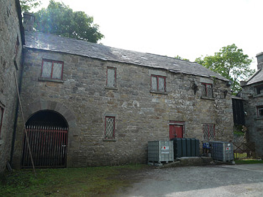 Derrylavan Millmill (water) · 822 yd
 farmyard complexfarmyard complex · 954 yd
 frotFairy fort / earthen ringfort · 1230 yd
 IndicatedCrannog · 1.1 mi
 European BeechEuropean Beech · 1.2 mi
 Monkey-puzzleMonkey-puzzle · 1.3 mi
 Drumerlough MoreMountain / peak · 2.4 mi
 Natural Play AreaMemorial · 3.6 mi
 RaferaghMountain / peak · 3.7 mi
 Castle ruinsCastle, unclassified · 3.7 mi
 In Memory of Our DadMemorial · 3.7 mi
 Mannan Castle (in ruins)Castle, Anglo-Norman masonry castle · 3.9 mi