What is recorded here
Latinalbany holds a forgotten fort on a drumlin crest, visible only through gothic lettering on an 1834 map rather than modern soil. The missing earth suggests humans built, used and abandoned the site before memory faded, while nearby Rath still marks the landscape. Distance and time have stripped the fort of its visible shape, leaving behind a ghost drawn in ink.
Situated at the crest of the NE-facing slope of a broad drumlin. It is depicted as an embanked enclosure (ext. diam. c. 40m) described as a ‘fort’ in gothic lettering only on the 1834 edition of the OS 6-inch map. No archaeological feature is visible at ground level in pasture. Rath (MO031-065----) is c. 50m to the SE.
The above description is derived from the published 'Archaeological Inventory of County Monaghan' (Dublin: Stationery Office, 1986). In certain instances the entries have been revised and updated in the light of recent research.
Date of revision: 31 July 2017
The monument record does not grant public access. Check the route and ask the landowner before entering private land.
- What survives
- Recorded monument
Places near here
 farmyard complexfarmyard complex · 884 yd
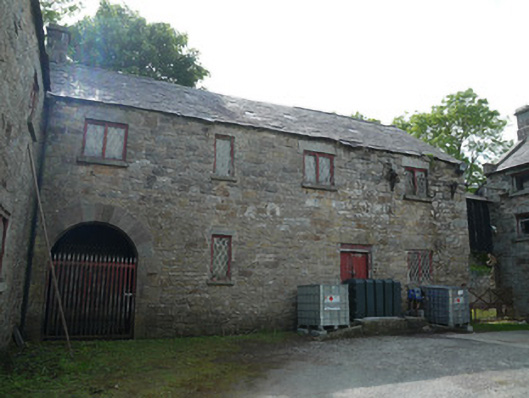 Derrylavan Millmill (water) · 900 yd
 frotFairy fort / earthen ringfort · 1311 yd
 IndicatedCrannog · 1.1 mi
 European BeechEuropean Beech · 1.3 mi
 Monkey-puzzleMonkey-puzzle · 1.4 mi
 Drumerlough MoreMountain / peak · 2.4 mi
 RaferaghMountain / peak · 3.6 mi
 Natural Play AreaMemorial · 3.7 mi
 Castle ruinsCastle, unclassified · 3.7 mi
 In Memory of Our DadMemorial · 3.7 mi
 Mannan Castle (in ruins)Castle, Anglo-Norman masonry castle · 3.9 mi