What is recorded here
Laragh holds a vanished ringfort on a drumlin slope, marked only in old surveys and buried beneath grass. The earth swallowed the fort while memory kept its shape, inviting people to imagine chambers, guards or festivals inside the hidden ridge. What is missing becomes a room for wonder, with the land remembering what humans forgot.
Marked 'Fort' on OS 1836 ed. and 'Site of' on 1876 ed. Situated on the NE slope of a drumlin ridge. Not visible at ground level.
The above description is derived from the published 'Archaeological Inventory of County Cavan' (Dublin: Stationery Office, 1995). In certain instances the entries have been revised and updated in the light of recent research.
Date of upload/revision: 22 December 2008
A fairy fort or earthen ringfort in Laragh is a likely early-medieval defensive or domestic site, situated on a drumlin ridge and marked on early Ordnance Survey maps. Local tradition may associate it with fairy lore, as suggested by its name, though specific folklore is not recorded.
The monument record does not grant public access. Check the route and ask the landowner before entering private land.
- What survives
- Recorded monument
Places near here
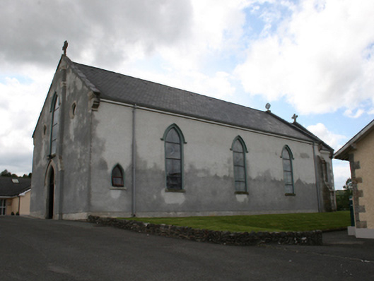 Our Lady of Mount Carmelchurch/chapel · 245 yd
 IndicatedFairy fort / earthen ringfort · 596 yd
 Castle in ruinsCastle, unclassified · 778 yd
 Fair of MuffMemorial · 933 yd
 EnclosureEnclosure, large enclosure · 1137 yd
 post boxpost box · 1.0 mi
 CornasausMountain / peak · 1.7 mi
 LoughanleaghForest · 1.8 mi
 The CurraghWood · 2.1 mi
 Giants GraveArchaeological place · 2.1 mi
 CornamaghMountain / peak · 2.1 mi
 Castle ruinsCastle, unclassified · 3.0 mi