
What is recorded here
Situated on a hilltop. It is depicted as a curved field bank SW-NW on the 1835 and 1908 editions of the OS 6-inch maps but a continuation of the perimeter of a large enclosure (diam. c. 75m NE-SW). can be seen NW-NE on some aerial series (OSAP 1995; Google Earth 18/02/2015)). It was first reported by Maureen O’Leary.
Compiled by: Michael Moore
Date of upload; 7 March 2019
A large early-medieval ringfort, likely dating to between the 5th and 10th centuries, situated on a hilltop in Corraneary. Local folklore, common to many such sites, may associate it with fairy legends or ancient dwellings of chieftains.
The monument record does not grant public access. Check the route and ask the landowner before entering private land.
- What survives
- Recorded monument
Places near here
 IndicatedFairy fort / earthen ringfort · 1015 yd
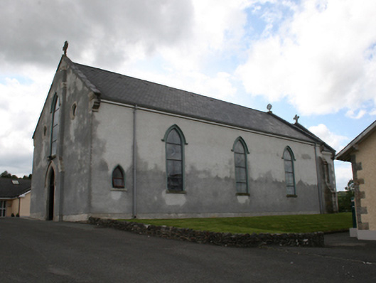 Our Lady of Mount Carmelchurch/chapel · 1338 yd
 Castle in ruinsCastle, unclassified · 1.1 mi
 Fair of MuffMemorial · 1.2 mi
 post boxpost box · 1.4 mi
 Enclosure in EdengoraEnclosure · 1.4 mi
 The CurraghWood · 2.0 mi
 LoughanleaghForest · 2.1 mi
 CornasausMountain / peak · 2.2 mi
 TeevurcherMountain / peak · 2.4 mi
 Giants GraveArchaeological place · 2.6 mi
 Castle ruinsCastle, unclassified · 3.3 mi
Other information
Photo: Credit not shown in the picture search · Rights wording not checked; contact us if this picture should be removed