What is recorded here
In low-lying pasture. A report in 1975 (SMR file) indicates that this raised circular area (diam. 28.4m) was enclosed by a wide, low bank of earth and stone, an external fosse and an outer bank. The original entrance may have been at E. It has since been levelled. However, the inner bank (Wth c. 9m; H 0.9m) and the outline of the fosse (Wth c. 5.5m) are still identifiable. There are no visible traces of the outer bank.
Compiled by: Patrick F. O'Donovan
Date of upload: 26 August 2011
This remains an important historical record, but the official description says the monument is no longer visible or has been destroyed. The monument record does not grant public access. Check the route and ask the landowner before entering private land.
- What survives
- No visible remains or recorded as destroyed
Places near here
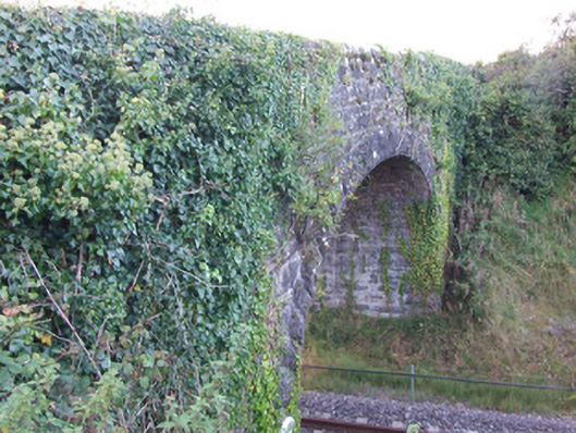 bridgebridge · 1440 yd
 Enclosure in KeelogesEnclosure · 1496 yd
 Fulacht fia in TinnynarrFulacht fia · 1515 yd
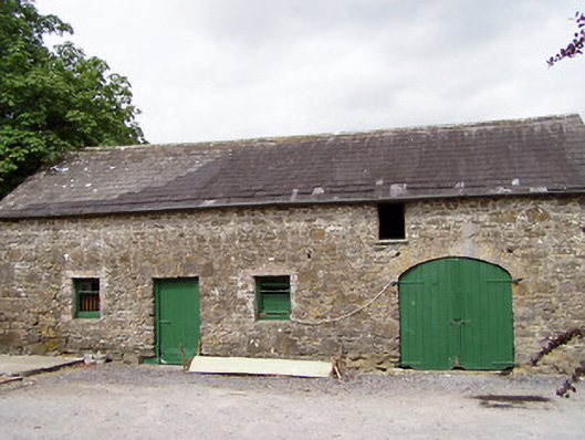 Lisnanagh Househouse · 1.1 mi
 CastleCastle, ringwork · 1.3 mi
 Edgeworthstown BypassMemorial · 1.7 mi
 Moat & CastleCastle, motte and bailey · 1.9 mi
 Oldtown DemesneForest · 1.9 mi
 Oldtown CopseWood · 2.0 mi
 Clonfin Ambush MemorialMemorial · 4.9 mi
 National Famine WayWalking route · 5.6 mi
 Granard MotteMotte-and-bailey castle remains · 7.9 mi