
What is recorded here
Identified in 2004 during archaeological testing in advance of roadworks (McQuade 2007, 251). Subsequent excavation in 2005 revealed several small, truncated and highly disturbed features containing charcoal and burnt stone. The excavator believed that the deposits were consistent with a fulacht fia (Tinnynarr 002) that had been severely damaged by agricultural activity (McCabe 2008, 253). A burnt mound (LF015-084----) lies c. 130m to the SE.
Compiled by: Patrick F. O'Donovan
Date of upload: 22 November 2011
The monument record does not grant public access. Check the route and ask the landowner before entering private land.
- What survives
- Recorded monument
Places near here
 Burnt spread in TinnynarrBurnt spread · 510 yd
 St. Barrys WellHoly well · 888 yd
 Abbey (in Ruins)Religious house, Franciscan Third Order Regular · 923 yd
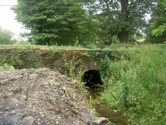 Holy Well Bridgebridge · 1044 yd
 Edgeworthstown BypassMemorial · 1444 yd
 CastleCastle, ringwork · 1.3 mi
 MoatawardCastle, motte and bailey · 1.6 mi
 Oldtown DemesneForest · 2.7 mi
 Oldtown CopseWood · 2.7 mi
 Clonfin Ambush MemorialMemorial · 4.7 mi
 Granard MotteMotte-and-bailey castle remains · 7.5 mi
 1798 Monumentmonument · 7.5 mi
Other information
Photo: Credit not shown in the picture search · Rights wording not checked; contact us if this picture should be removed