
What is recorded here
Outline of circular-shaped enclosure (overall diam. 44m) visible on Digital Globe aerial imagery. The monument is intersected at NE by a road which forms townland boundary with Lisduff.
Compiled by: Caimin O'Brien based on details provided by Edmond O'Donovan
Date of upload: 30 October 2019
The monument record does not grant public access. Check the route and ask the landowner before entering private land.
- What survives
- Recorded monument
Places near here
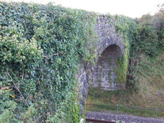 bridgebridge · 1464 yd
 Fulacht fia in TinnynarrFulacht fia · 1.4 mi
 Oldtown DemesneForest · 1.4 mi
 Oldtown CopseWood · 1.4 mi
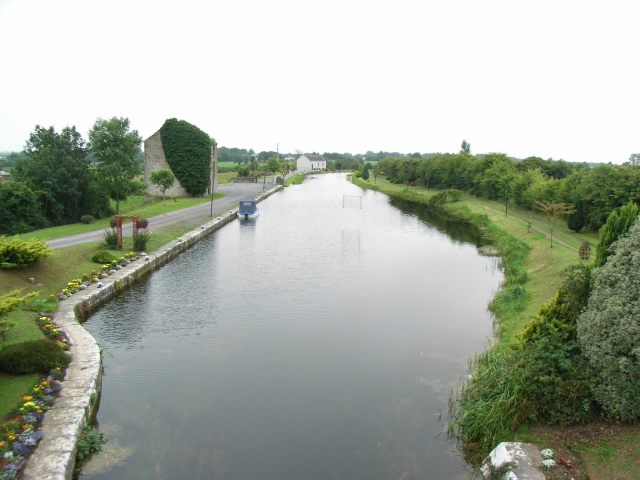 Enclosure in Ballindagny AND CullyvoreEnclosure · 1.5 mi
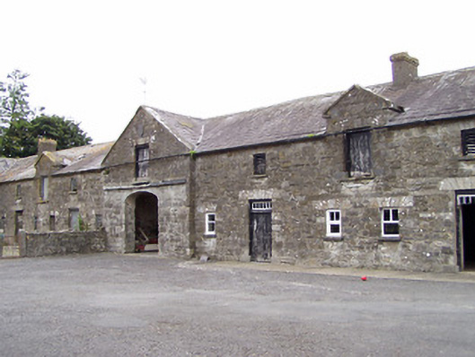 Oldtown Houseoutbuilding · 1.5 mi
 Ardagh DemesneFort · 1.7 mi
 Edgeworthstown BypassMemorial · 2.0 mi
 CastleCastle, ringwork · 2.2 mi
 National Famine WayWalking route · 4.8 mi
 Clonfin Ambush MemorialMemorial · 5.7 mi
 Granard MotteMotte-and-bailey castle remains · 8.8 mi
Other information
Photo: Credit not shown in the picture search · Rights wording not checked; contact us if this picture should be removed