What is recorded here
Killshannig House built its demesne wall around the missing fort instead of filling it, bending the eastern boundary to give the invisible circle room. The earth forgot its own shape, but the wall still respects the hole, curving past a boundary no longer visible.
In pasture, on W-facing slope. Hachured as oval enclosure (c. 30m E-W; c.25m N-S) on 1842 OS 6-inch map, inside SE corner of demesne wall of Killshannig House (CO044-033---). No visible surface trace. Demesne wall curves on Eside to respect site.
The above description is derived from the published 'Archaeological Inventory of County Cork. Volume 2: East and South Cork' (Dublin: Stationery Office, 1994). In certain instances the entries have been revised and updated in the light of recent research.
Date of upload/revision: 14 January 2009
The monument record does not grant public access. Check the route and ask the landowner before entering private land.
- What survives
- Recorded monument
Places near here
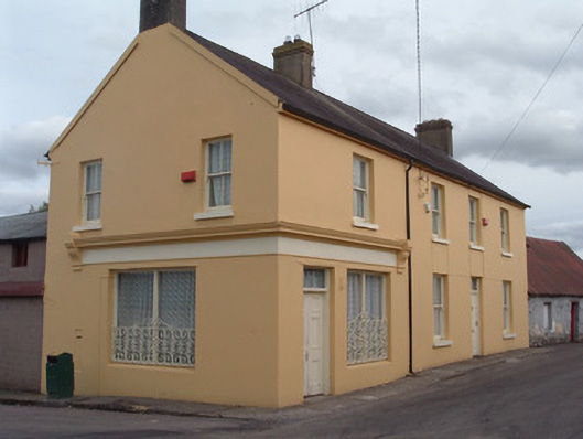 post officepost office · 804 yd
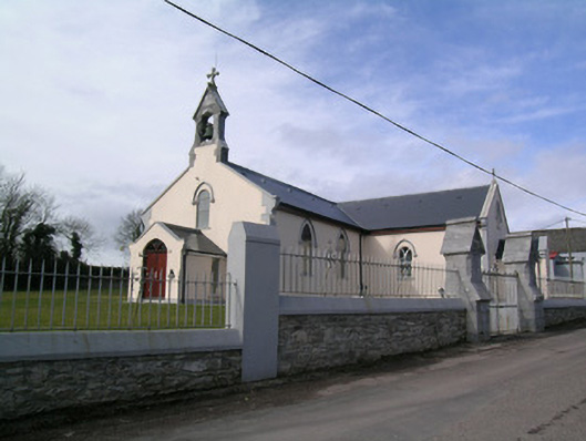 Saint Bartholomew's Churchchurch/chapel · 944 yd
 Rathcormac massacremassacre · 1001 yd
 Icehouse in Kilshannig UpperIcehouse · 1080 yd
 Site of Grave YardGraveyard · 1188 yd
 Tower (in Ruins)Bawn · 1.1 mi
 Devonshire's HillMountain / peak · 1.9 mi
 Monananig WoodsWood · 2.5 mi
 Barrymore Castle or Castle LyonsHouse, fortified house · 2.9 mi
 Moanbaun ForestForest · 3.8 mi
 Pope's WellSpring · 4.0 mi
 Coole WellVisitor information · 4.9 mi