
What is recorded here
Cill Seanaigh, Semach's Church and graveyard, vanished beneath County Cork soil within decades of its 1842 mapping. Power saw only a small stone pile beside two whitethorn bushes where ancient worship and death once shared one circular place. The graveyard did not resist forgetting; it fed it.
Roughly circular area (diam. c. 35m) dotted on 1842 OS 6-inch map, c. 40m WNW of Kilshannig House (CO044-03301-). Not marked on later editions of OS 6-inch map; no visible surface trace. Power (1923, 190) describes 'a small pile of stones beside a pair of whitethorn bushes' on 'site of ancient church and graveyard'; probably remains of 'Cill Seanaigh - "Semach's Church"'.
The above description is derived from the published 'Archaeological Inventory of County Cork. Volume 2: East and South Cork' (Dublin: Stationery Office, 1994). In certain instances the entries have been revised and updated in the light of recent research.
Date of upload/revision: 14 January 2009
The monument record does not grant public access. Check the route and ask the landowner before entering private land.
- What survives
- Recorded monument
Places near here
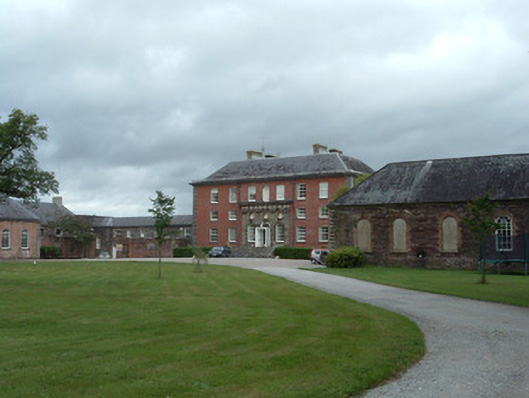 Kilshannig Housecountry house · 88 yd
 Icehouse in Kilshannig UpperIcehouse · 181 yd
 Ballyglissane Bridgebridge · 786 yd
 Earthwork in BallinterryEarthwork · 1107 yd
 Tower (in Ruins)Bawn · 1427 yd
 Rathcormac massacremassacre · 1.2 mi
 Devonshire's HillMountain / peak · 2.4 mi
 Barrymore Castle or Castle LyonsHouse, fortified house · 2.7 mi
 Monananig WoodsWood · 3.1 mi
 Pope's WellSpring · 3.6 mi
 Corrin WoodsWood · 3.8 mi
 Cappagh XViewpoint · 4.4 mi
Other information
Photo: Credit not shown in the picture search · Rights wording not checked; contact us if this picture should be removed