What is recorded here
Knocknagoran holds a broad earthen disc where human hands raised soil around a natural rise, creating a flat circular space thirty metres across. The outer bank has weakened into a shallow scarp, but the interior still contains a faint east-west ridge that may mark an old division or a later change. The fort is no longer a complete wall, yet its shape remains clear enough to imagine people living inside the circle, using the height and the enclosed ground for daily life.
The following description is derived from both the published 'Archaeological Inventory of County Louth' (Dublin: Stationery Office, 1986) and the 'Archaeological Survey of County Louth' (Dublin: Stationery Office, 1991). In certain instances the entries have been revised and updated in the light of recent research.
Date of upload/revision: 17 July 2007
Artifically raised circular platform (int. diam. 30m, H 1.5-2m) constructed around a natural rise and enclosed by degraded earthen bank now almost completely reduced to a scarp. The interior of the platfrom is divided in two by an E-W running bank (H 0.1-0.25m), which may be modern.
The monument record does not grant public access. Check the route and ask the landowner before entering private land.
- What survives
- Recorded monument
Places near here
 Grave YardChurch · 424 yd
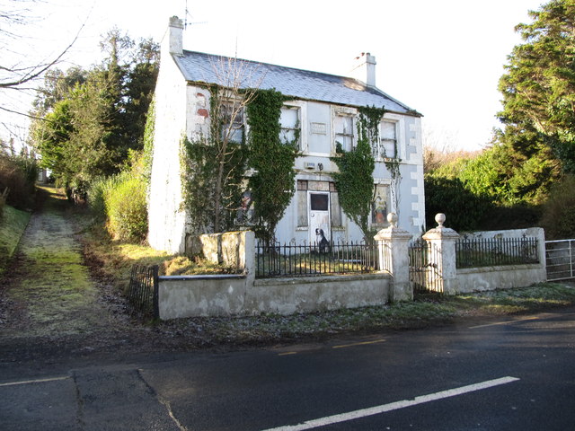 Oberon Villahouse · 554 yd
 Carlingford Lough GreenwayWalking route · 657 yd
 Promontory fortPromontory fort, inland · 1220 yd
 Hut site in BavanHut site · 1318 yd
 The Foxes RockMountain / peak · 1.4 mi
 Joanne ReillyMemorial · 1.5 mi
 Dobbin's PointHeadland · 1.6 mi
 Long Woman's GraveArchaeological place · 1.6 mi
 The Ravens RockMountain / peak · 1.8 mi
 FORTIFICATION: TREVORS CASTLE (unlocated) in RosstrevorFORTIFICATION: TREVORS CASTLE (unlocated) · 2.0 mi
 Cooley MountainsMountain range · 2.1 mi