What is recorded here
Knockburden holds a levelled ringfort where dark grass still outlines a twenty-three metre circle, proving the earth remembers shapes even after ploughs and forgetting. It is a fairy fort in local speech, which means people saw more life there than stones alone. The boundary remains visible in pasture, inviting imagination to fill the hollow center.
In pasture. Depicted as hachured circular enclosure (diam. c. 25m), with quarry outside N bank and possible outer bank as solid line S->NW on 1842 OS 6-inch map; N bank missing but second solid line S->W exists outside first on 1903 and 1940 OS 6-inch maps. Levelled; band of dark green grass enclosing circular area (diam. 23.5m) clearly visible. Hartnett (1939, 260) recorded single rampart enclosing circular area (diam. 91ft), with second and third bank surviving in SW quadrant.
The above description is derived from the published 'Archaeological Inventory of County Cork. Volume 3: Mid Cork' (Dublin: Stationery Office, 1997). In certain instances the entries have been revised and updated in the light of recent research.
Date of upload/revision: 14 January 2009
The monument record does not grant public access. Check the route and ask the landowner before entering private land.
- What survives
- Recorded monument
Places near here
 Grange HillMountain / peak · 1171 yd
 Site of Burial GroundBurial ground · 1323 yd
 Ecclesiastical site in Grange (east Muskerry By.)Ecclesiastical site · 1.1 mi
 KilnKiln, lime · 1.2 mi
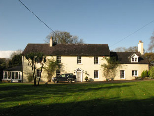 Bride Park Househouse · 1.4 mi
 Ballyburden Castle (Site of)Castle, unclassified · 1.5 mi
 Charlie Hurley MemorialMemorial · 1.7 mi
 Graveyard in Carrigane (muskerry East By.)Graveyard · 1.8 mi
 Ballincollig CastleCastle · 2.3 mi
 Cave in Ballincollig (muskerry East By., Carrigrohane Par.)Cave · 2.3 mi
 Corbally Montessori & Early Years' Pre-schoolVisitor information · 2.5 mi
 waterfallVisitor information · 3.4 mi