What is recorded here
Fairy fort / earthen ringfort in Knockbrack (Glenkeen parish) is a fairy fort or earthen ringfort in Knockbrack (Glenkeen parish), County Tipperary, Ireland. It occupies a low gentle rise in an upland area with extensive views. A raised circular area, measuring 38 metres from north to south, is enclosed by an earth and stone bank 2.2 metres wide. The bank stands 0.5 metres high internally and 1.7 metres high externally, though it is mainly reduced to a scarp with no visible entrance.
Situated on a low gentle rise of ground in an upland area with extensive views. A raised circular area (diam. 38m N-S) enclosed by an earth and stone bank (Wth 2.2m; int. H 0.5m; ext. H 1.7m) with traces of a shallow external fosse. The bank is mainly reduced to a scarp and there is no entrance feature visible.
The above description is derived from 'The Archaeological Inventory of County Tipperary. Vol. 1 - North Tipperary' compiled by Jean Farrelly and Caimin O'Brien (Dublin: Stationery Office, 2002). In certain instances the entries have been revised and updated in the light of recent research.
Date of upload/revision: 22 September 2008
The monument record does not grant public access. Check the route and ask the landowner before entering private land.
- What survives
- Recorded monument
Places near here
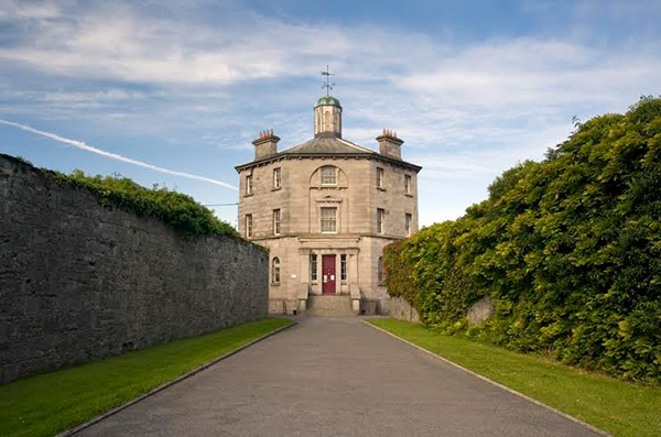 Castle (in ruins)Castle, tower house · 737 yd
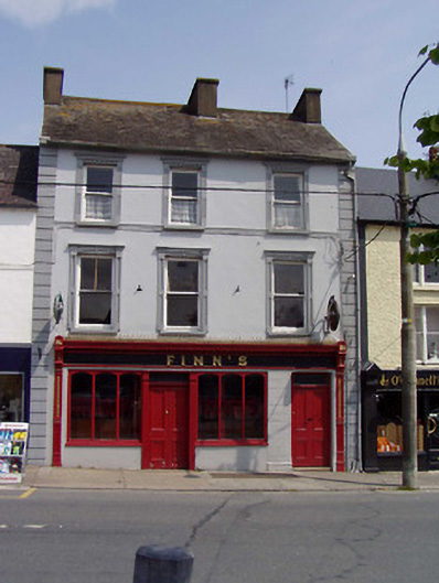 Finn'shouse · 998 yd
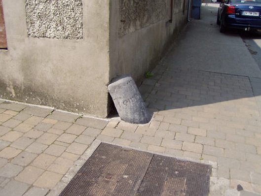 wheelguardwheelguard · 1023 yd
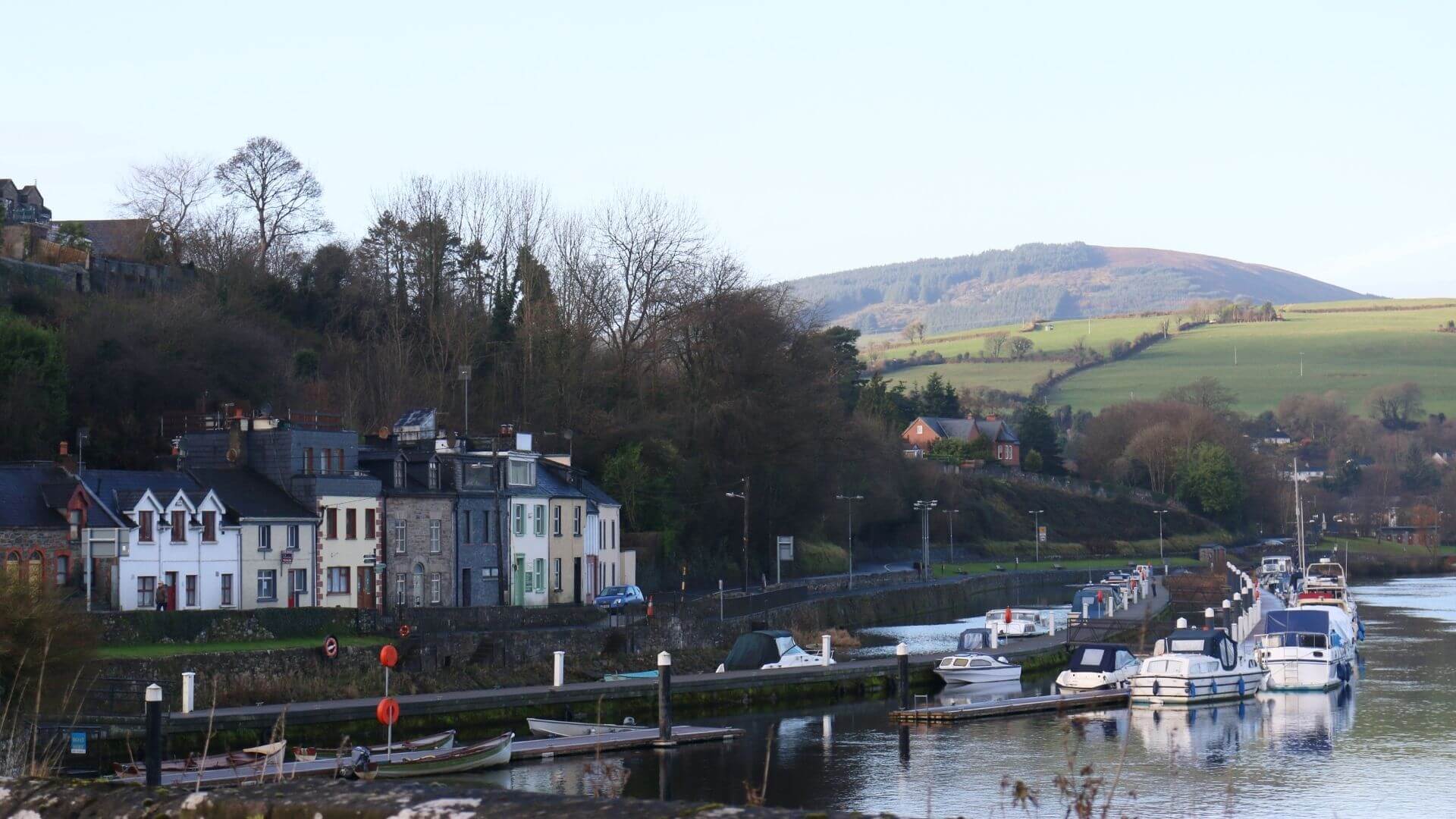 Fishmoyne Ho.Castle, unclassified · 1295 yd
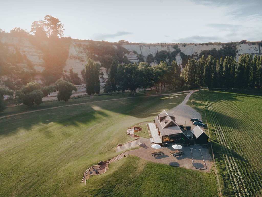 RathmoyFairy fort / earthen ringfort · 1.0 mi
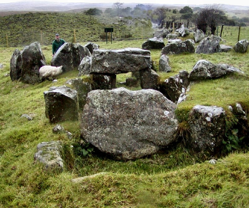 Enclosure in KnockanevinEnclosure · 1.1 mi
 Kilvilcorris BogForest · 1.6 mi
 Pallas HillMountain / peak · 3.6 mi
 GortagarryMountain / peak · 3.9 mi
 Morris's GroveForest · 4.3 mi
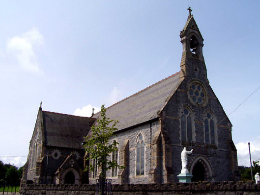 Catholic Church of the Sacred Heartchurch/chapel · 1062 yd
 The Barrackshouse · 1121 yd