What is recorded here
Knockardsharriv held a levelled single-ramparted fort roughly thirty-nine yards across, buried beneath Mrs O'Donoghue's land before modern memory reached it. The earth swallowed the rampart, yet the shape persists in local names and forgotten boundary lines. People may have lived inside that circle, watched storms pass, or abandoned it when the soil became too heavy for pride. What remains is a hollow suggestion, waiting for someone to stop measuring and start listening.
Bowman (1934, 50) recorded levelled single-ramparted fort (diam. c. 39yd) in Mrs O'Donoghue's land. Exact location not known.
The above description is derived from the published 'Archaeological Inventory of County Cork. Volume 4: North Cork' (Dublin: Stationery Office, 2000). In certain instances the entries have been revised and updated in the light of recent research.
Date of upload/revision: 14 January 2009
The monument record does not grant public access. Check the route and ask the landowner before entering private land.
- What survives
- Recorded monument
Places near here
 Castle Magner (in Ruins)Bawn · 523 yd
 IndicatedHouse, vernacular house · 568 yd
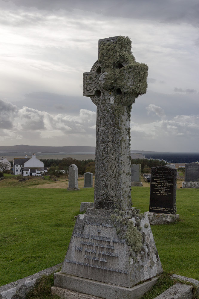 Grave YdGraveyard · 678 yd
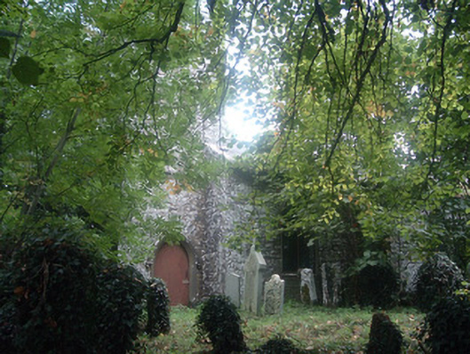 Saint Bridget's Church (Castlemagner)church/chapel · 680 yd
 Enclosure in CastlemagnerEnclosure · 835 yd
 Graveyard in Ballygiblin (duhallow By.)Graveyard · 1168 yd
 Lohort CastleCastle, tower house · 1.2 mi
 European YewEuropean Yew · 1.3 mi
 Burial ground in AssolasBurial ground · 1.5 mi
 St Fursey's WellSpring · 3.4 mi
 Mount Hillary - Knightfield LoopWalking route · 3.9 mi
 Kanturk CastleHeritage attraction · 4.0 mi