What is recorded here
Knockardsharriv held a forty-metre earthen ring on a hill crest east of Ketragh Glen, visible enough for surveyors to map repeatedly before people levelled it for pasture. The fort vanished despite standing recorded in several drawings, suggesting human hands chose forgetfulness rather than loss. What was built there may have been a home, a boundary marker or a place of protection, but the earth swallowed the answer when the rampart became a fence.
In pasture, on crest of hill, to E of Ketragh Glen. Depicted as hachured circular enclosure (diam. c. 40m) on 1842 OS 6-inch map; arc forming solid line indicates site on 1905 and 1937 OS 6-inch maps; circle (diam. c. 40m) completed by hachured scarp on 1937 OS 6-inch map. No visible surface trace of site; according to local information, remains of fort levelled in recent years. Recorded by Bowman (1934, 50) as single-ramparted fort (diam. c. 33yd) in P. O'Connell's land, with two thirds of rampart levelled and remainder forming a boundary fence.
The above description is derived from the published 'Archaeological Inventory of County Cork. Volume 4: North Cork' (Dublin: Stationery Office, 2000). In certain instances the entries have been revised and updated in the light of recent research.
Date of upload/revision: 14 January 2009
A fairy fort or earthen ringfort in Knockardsharriv, likely dating to the early medieval period, is situated on a hill crest near Ketragh Glen. It appears on several historical Ordnance Survey maps and is associated with local folklore regarding fairy activity and ancient habitation.
The monument record does not grant public access. Check the route and ask the landowner before entering private land.
- What survives
- Recorded monument
Places near here
 Enclosure in CastlemagnerEnclosure · 531 yd
 Castle Magner (in Ruins)Bawn · 567 yd
 Field system in CastlemagnerField system · 621 yd
 Pump HoPump-house · 624 yd
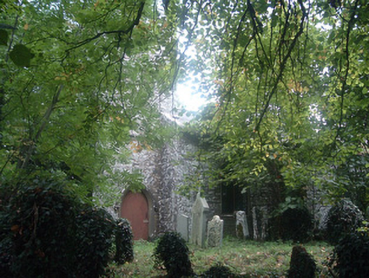 Saint Bridget's Church (Castlemagner)church/chapel · 631 yd
 Graveyard in Ballygiblin (duhallow By.)Graveyard · 1226 yd
 European YewEuropean Yew · 1.1 mi
 Burial ground in AssolasBurial ground · 1.4 mi
 Lohort CastleCastle, tower house · 1.4 mi
 St Fursey's WellSpring · 3.3 mi
 Kanturk CastleHeritage attraction · 3.9 mi
 Mount Hillary - Knightfield LoopWalking route · 3.9 mi