What is recorded here
Half-hidden in grass and scrub on a broad drumlin slope in County Leitrim, the fort keeps its circle intact though no entrance remains visible. Its earthen bank still stands low and wide, with reeds marking the forgotten ditch outside. People may have lived inside that small round world, watching the west sky from a ridge above the ordinary land.
Located towards the top of the W-facing slope of a broad drumlin. This is a grass and scrub-covered circular area (int. diam. 27m E-W; 25m N-S) defined by an overgrown earthen bank (at W: Wth 3.3m; int. H 0.35m; ext. H 0.45m) with slight traces of an external fosse visible as a band of reeds. The original entrance is not identified.
The above description is derived from 'The Archaeological Inventory of County Leitrim' compiled by Michael J. Moore (Dublin: Stationery Office, 2003). In certain instances the entries have been revised and updated in the light of recent research.
Compiled by: Michael Moore
Date of revised upload: 15 October 2019
The monument record does not grant public access. Check the route and ask the landowner before entering private land.
- What survives
- Recorded monument
Places near here
 Enclosure in GarvloughEnclosure · 880 yd
 LisduffFairy fort / earthen ringfort · 891 yd
 R. C. ChapelChurch · 1093 yd
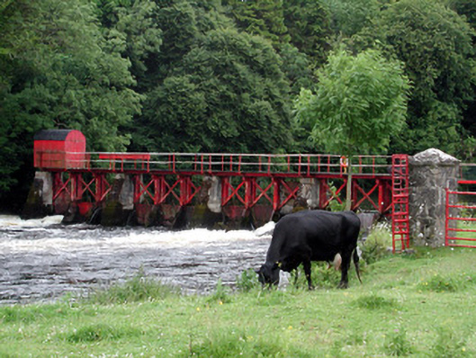 sluice/sluice gatesluice/sluice gate · 1.0 mi
 CastlecarraCastle, unclassified · 1.2 mi
 Patrick Gill Memorial Plaque (IRA)Monument · 1.8 mi
 Robert Strawbridge MemorialMemorial · 1.9 mi
 Moon RiverHeritage attraction · 1.9 mi
 Wildlife AreaNature reserve · 2.1 mi
 PortCastle, unclassified · 2.9 mi
 Leabaidh DermotCave · 4.1 mi
 Hughestown WoodForest · 4.5 mi