What is recorded here
No human fort is recorded at Kiltycarney, yet a thirty-metre grass circle lies trapped among drumlins, marked only by a broad band of rushes. The boundary is incomplete where a field bank and drain cut through it, suggesting the earth itself forgot the shape rather than any person abandoning it. A stream runs beside the formation, feeding the reeds that define its edge. The absence of an entrance and the refusal of maps to acknowledge the site transform the fort into a living boundary, not a dead ruin.
Situated in a low-lying position among drumlins, with a small canalised NE-SW stream c. 50m to the NW. No archaeological feature is recorded on any map at this location but a D-shaped area is visible on aerial photographs (GSIAP: G 152-3) and some later series (OSAP: 2012). This is a grass-covered circular area (diam. 30m) defined by a band of rushes and reeds (Wth 4m). The original entrance is not identified but the perimeter is truncated slightly by a NW-SE field bank and drain at SW.
The above description is derived from 'The Archaeological Inventory of County Leitrim' compiled by Michael J. Moore (Dublin: Stationery Office, 2003). In certain instances the entries have been revised and updated in the light of recent research.
Compiled by: Michael Moore
Date of revised upload: 15 October 2019
The monument record does not grant public access. Check the route and ask the landowner before entering private land.
- What survives
- Recorded monument
Places near here
 LisduffFairy fort / earthen ringfort · 821 yd
 Enclosure in GarvloughEnclosure · 1034 yd
 R. C. ChapelChurch · 1139 yd
 CastlecarraCastle, unclassified · 1.1 mi
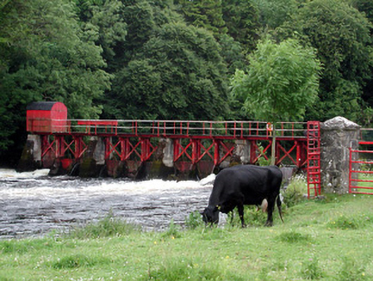 sluice/sluice gatesluice/sluice gate · 1.2 mi
 Moon RiverHeritage attraction · 1.7 mi
 Patrick Gill Memorial Plaque (IRA)Monument · 2.0 mi
 Robert Strawbridge MemorialMemorial · 2.1 mi
 Wildlife AreaNature reserve · 2.3 mi
 PortCastle, unclassified · 2.9 mi
 Leabaidh DermotCave · 4.2 mi
 Hughestown WoodForest · 4.3 mi