What is recorded here
Mortons and others built Kiltycarney, though no exact date or named event has emerged. They shaped a circular home on the SE-facing slope of a NE-SW drumlin ridge, using an earthen bank about 4m wide and 0.35m high at the north, a lower scarp at the south, and a fosse marked by lush vegetation. The entrance has not been identified, but the completed ring is still visible: a small inhabited world made deliberate on a ridge where people could see far and be seen in return.
Situated towards the top of the SE-facing slope of a NE-SW drumlin ridge. This is an overgrown circular area (diam. c. 22m) defined by an earthen bank (Wth 4m; H 0.35m) at N, which is reduced to a scarp (H 0.25m at S) elsewhere, and traces of a fosse visible as a band of lush vegetation (Wth 1m) at N. The original entrance is not identified.
The above description is derived from 'The Archaeological Inventory of County Leitrim' compiled by Michael J. Moore (Dublin: Stationery Office, 2003). In certain instances the entries have been revised and updated in the light of recent research.
Compiled by: Michael Moore
Date of revised upload: 15 October 2019
The monument record does not grant public access. Check the route and ask the landowner before entering private land.
- What survives
- Recorded monument
Places near here
 IndicatedFairy fort / earthen ringfort · 972 yd
 LisduffFairy fort / earthen ringfort · 1066 yd
 R. C. ChapelChurch · 1330 yd
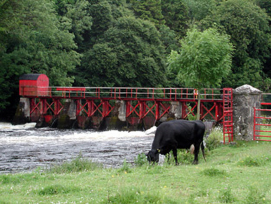 sluice/sluice gatesluice/sluice gate · 1.0 mi
 CastlecarraCastle, unclassified · 1.3 mi
 Moon RiverHeritage attraction · 1.8 mi
 Patrick Gill Memorial Plaque (IRA)Monument · 1.9 mi
 Robert Strawbridge MemorialMemorial · 1.9 mi
 Wildlife AreaNature reserve · 2.1 mi
 PortCastle, unclassified · 3.0 mi
 Leabaidh DermotCave · 4.2 mi
 Hughestown WoodForest · 4.5 mi