What is recorded here
Madden’s Hill in Kiltale, County Meath, once held an oval rath forty metres long, but quarrying destroyed most of the ditch. In 1966, diggers struck human remains and a furnace bottom before excavators revealed a broken V-shaped fosse containing animal bones and an underground passage extending eastward. The fort vanished beneath extraction, leaving only fragmented earth and a warning that progress often devours memory.
Situated on a hillock known as ‘Madden’s Hill’ which is part of an E-W esker. No feature is depicted on any OS map but in 1966 human remains and a furnace bottom came to light in a quarry, and excavation identified a Man-made underground passage (ME037-025001-) and the ditch of an oval rath (dims c. 40m E-W; c. 30m N-S) that only survived in broken sections at ENE and ESE, the rest of the enclosure having been quarried away. The enclosure was defined by a V-shaped fosse (Wth of top 2.5m; D 1.7m) that had plentiful animal bones at the bottom, and had been back-filled in two phases. The Man-made underground passage extended from the interior into the silted fosse at E. (Rynne 1974, 267-8)
The above description is derived from the published 'Archaeological Inventory of County Meath' (Dublin: Stationery Office, 1987). In certain instances the entries have been revised and updated in the light of recent research.
Compiled by: Michael Moore
Date of revision: 21 August 2019
The monument record does not grant public access. Check the route and ask the landowner before entering private land.
- What survives
- Recorded monument
Places near here
 Railway Woods (North)Forest · 1466 yd
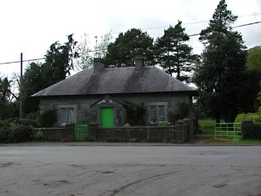 worker's houseworker's house · 1478 yd
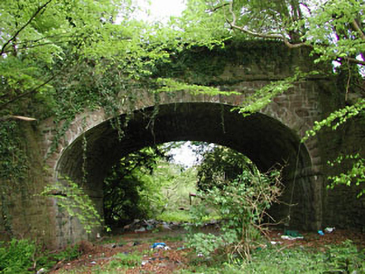 bridgebridge · 1625 yd
 Duck Pond WoodWood · 1.2 mi
 Derrypatrick RathEnclosure · 1.2 mi
 Enclosure in Athronan (deece Lower By.)Enclosure · 1.3 mi
 IndicatedBawn · 1.9 mi
 Galtrim MoatCastle, motte · 2.2 mi
 Battle of Tara (Ireland)Major battlefield · 3.8 mi
 Battle of Tara Hillbattle · 3.8 mi
 Saint Patrick'sMemorial · 4.0 mi
 Tara Open StudioGallery · 4.0 mi