What is recorded here
No. The facts contain the claimed destruction. To describe it as a visible fort would invent the very thing the facts removed.
On a SE-facing slope. Not marked on any ed. of the OS 6-inch map. A report in 1975 (SMR file) recorded that apart from a very slight rise, no trace of this monument survived. The W half was occupied by a modern dwelling-house. Murphy (2002, 139) undertook archaeological testing here in 1998, in advance of a proposed residential development, and concluded that 'all traces of the ringfort seem to have been destroyed.'
Compiled by: Patrick F. O'Donovan
Date of upload: 16 February 2012
The monument record does not grant public access. Check the route and ask the landowner before entering private land.
- What survives
- Recorded monument
Places near here
 Mound in KilsallaghMound · 1316 yd
 Enclosure in LisnagrishEnclosure · 1392 yd
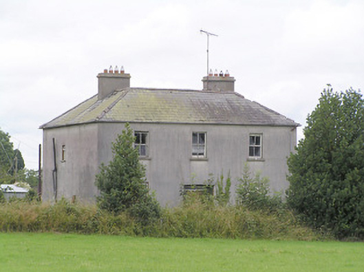 Lissanure Househouse · 1569 yd
 MoatawardCastle, motte and bailey · 1.1 mi
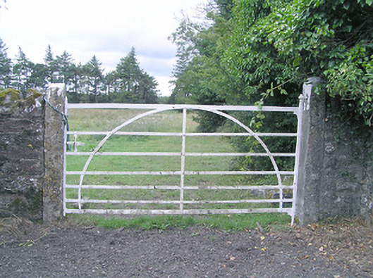 gates/railings/wallsgates/railings/walls · 1.1 mi
 Silver FirSilver Fir · 1.5 mi
 Edgeworthstown BypassMemorial · 1.9 mi
 MoatCastle, motte · 2.0 mi
 Sweet ChestnutSweet Chestnut · 2.6 mi
 Granard MotteMotte-and-bailey castle remains · 7.2 mi
 1798 Monumentmonument · 7.3 mi
 First World War MemorialMemorial · 9.9 mi