What is recorded here
Kilsallagh is called a fairy fort because people believed the tiny creatures lived there, yet it is also an earthen ringfort where humans may have stood guard or kept livestock. The fort sat on a low rise in pasture, visible enough for surveyors to draw its round shape and label it Fort before a laneway cut through part of it. What remains is a slight rise and a ghost of a boundary, but the name preserves the wonder that the land still belongs to something unseen.
On a low rise in pasture. Depicted as a subcircular enclosure with the designation 'Fort' on the 1837 ed. of the OS 6-inch map. On the 1914 ed. a laneway to its NE had been extended to the SW and would have cut through its SE quadrant. Traces survive to the NW of the laneway and as a slightly raised area (Murphy 1998, 5).
Compiled by: Patrick F. O'Donovan
Date of upload: 16 February 2012
The monument record does not grant public access. Check the route and ask the landowner before entering private land.
- What survives
- Recorded monument
Places near here
 Mound in KilsallaghMound · 1353 yd
 Enclosure in LisnagrishEnclosure · 1355 yd
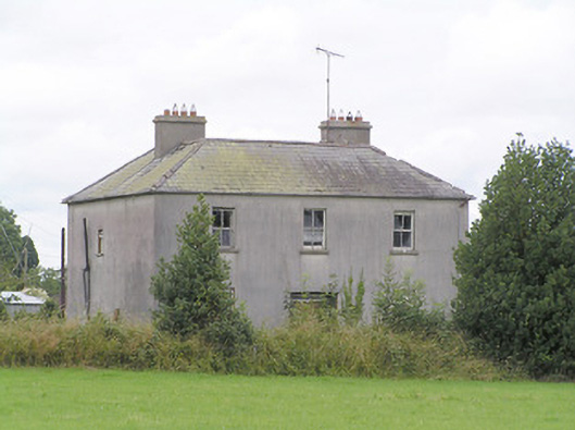 Lissanure Househouse · 1579 yd
 MoatawardCastle, motte and bailey · 1.1 mi
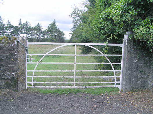 gates/railings/wallsgates/railings/walls · 1.2 mi
 Silver FirSilver Fir · 1.5 mi
 Edgeworthstown BypassMemorial · 1.9 mi
 MoatCastle, motte · 1.9 mi
 Sweet ChestnutSweet Chestnut · 2.6 mi
 Granard MotteMotte-and-bailey castle remains · 7.2 mi
 1798 Monumentmonument · 7.3 mi
 First World War MemorialMemorial · 9.9 mi