What is recorded here
Marianne stopped her car on the graveled track and stared at the empty field. The fort had vanished beneath a new housing estate, its earth swallowed by concrete and forgetting. She touched the warm dashboard, certain the place was not lost but waiting, and that it would show itself again in dreams before it showed itself in flesh.
In tillage, on N-facing slope. Depicted as hachured circular enclosure (diam. c. 60m) on 1842, 1905 and 1937 OS 6-inch maps. According to local information, levelled c. 1980. Low rise with shallow external depression may mark line of levelled W bank. Possible Man-made underground passage (CO024-11602-) in interior. Circular enclosure clearly visible as cropmark of levelled bank in aerial photograph, with faint trace of smaller enclosure within interior (CASAP). Recorded by Bowman (1934, 62) as double-ramparted fort (diam. 66yd) in W. Bolster's; outer rampart levelled; inner rampart 14ft to 18ft H.
The above description is derived from the published 'Archaeological Inventory of County Cork. Volume 4: North Cork' (Dublin: Stationery Office, 2000). In certain instances the entries have been revised and updated in the light of recent research.
Date of upload/revision: 14 January 2009
A fairy fort or earthen ringfort in Kilpatrick, likely dating to the early medieval period, is represented on historical Ordnance Survey maps as a circular enclosure with a diameter of about 60 metres. Local tradition associates it with fairy lore, while its earthworks were reportedly levelled around 1980, leaving only a low rise and shallow external depression.
The monument record does not grant public access. Check the route and ask the landowner before entering private land.
- What survives
- Recorded monument
Places near here
 Man-made underground passage in Kilpatrick (duhallow By.)Man-made underground passage · 1 yd
 IndicatedHouse, vernacular house · 762 yd
 Castle Magner (in Ruins)Bawn · 988 yd
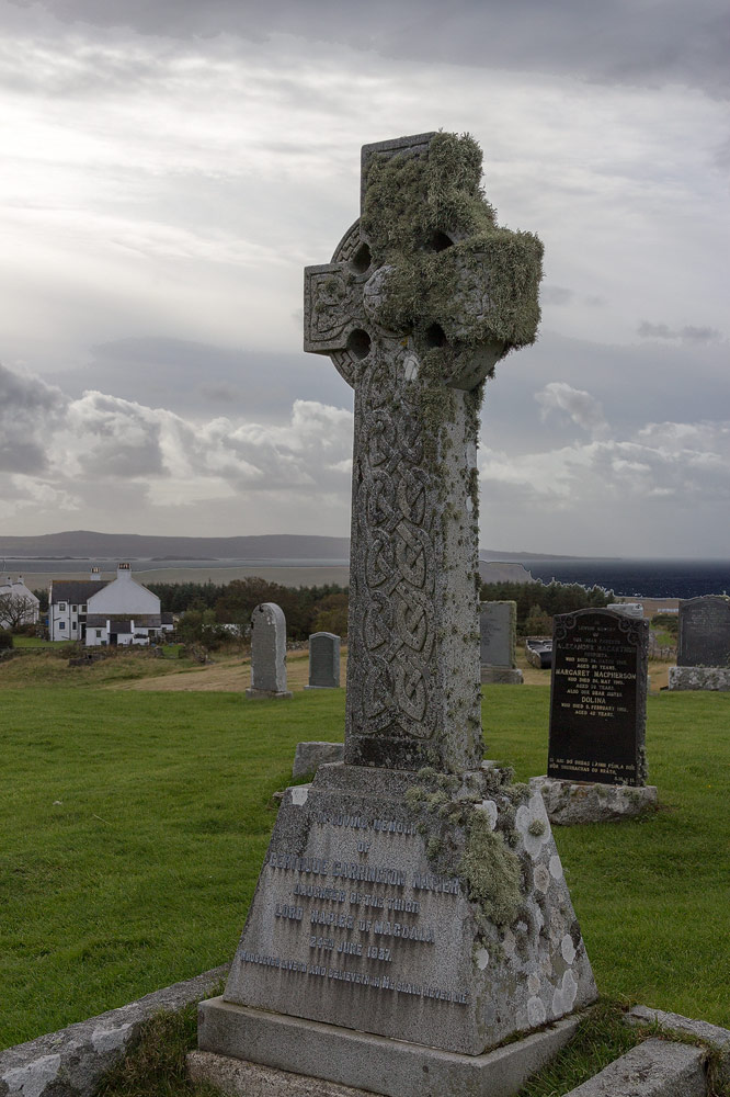 Grave YdGraveyard · 1176 yd
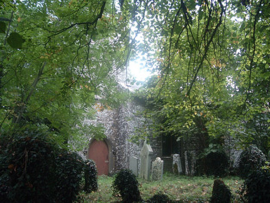 Saint Bridget's Church (Castlemagner)church/chapel · 1186 yd
 Lohort CastleCastle, tower house · 1526 yd
 Graveyard in Ballygiblin (duhallow By.)Graveyard · 1693 yd
 European YewEuropean Yew · 1.7 mi
 Burial ground in AssolasBurial ground · 1.9 mi
 St Fursey's WellSpring · 3.3 mi
 Mount Hillary - Knightfield LoopWalking route · 3.6 mi
 Dromaneen CastleHeritage attraction · 3.9 mi