What is recorded here
Mortars and machine guns scarred the earth during the war, but human hands have shaped this site since before recorded history. The chamber holds no corpse, only the accumulated weight of every prayer spoken inside it. Each person added a layer of intention, making the stone a living record of human longing rather than a dead container for bones.
In pasture, on SSW-facing slope. Depicted as hachured circular enclosure (diam. c. 30m) on 1842 OS 6-inch map; with limekiln to NE at outer edge of enclosure. Levelled; subcircular slightly raised area (35m N-S; 29.6m E-W) defined by scarp (H 0.36m); shallow external fosse (D 0.14m; Wth at base 2m) survives W->NNW.
The above description is derived from the published 'Archaeological Inventory of County Cork. Volume 4: North Cork' (Dublin: Stationery Office, 2000). In certain instances the entries have been revised and updated in the light of recent research.
Date of upload/revision: 14 January 2009
The monument record does not grant public access. Check the route and ask the landowner before entering private land.
- What survives
- Recorded monument
Places near here
 Man-made underground passage in Kilpatrick (duhallow By.)Man-made underground passage · 513 yd
 IndicatedHouse, vernacular house · 1032 yd
 Fulacht fia in CloonteensFulacht fia · 1209 yd
 Castle Magner (in Ruins)Bawn · 1274 yd
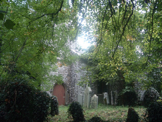 Saint Bridget's Church (Castlemagner)church/chapel · 1435 yd
 Lohort CastleCastle, tower house · 1669 yd
 Graveyard in Ballygiblin (duhallow By.)Graveyard · 1.3 mi
 European YewEuropean Yew · 1.8 mi
 Burial ground in AssolasBurial ground · 2.0 mi
 St Fursey's WellSpring · 3.1 mi
 Mount Hillary - Knightfield LoopWalking route · 3.3 mi
 Mount HillaryMountain / peak · 3.7 mi