What is recorded here
Kilnahone holds a broken fairy fort where human hands built an earthen ring before the myths took it over. The bank still stands one metre twenty-five high around a thirty-two metre circle, overlooking the Owenboy river valley. People may have lived there, herded animals there, or simply pointed children toward the fairies who inherited the hole.
In pasture, on S-facing slope, overlooking Owenboy river valley. Circular area (32m N-S; 32m E-W) enclosed by earthen bank (max. H 1.25m); external fosse (D 0.45m) NNW->SSE; shallow fosse elsewhere.
The above description is derived from the published 'Archaeological Inventory of County Cork. Volume 2: East and South Cork' (Dublin: Stationery Office, 1994). In certain instances the entries have been revised and updated in the light of recent research.
Date of upload/revision: 14 January 2009
The monument record does not grant public access. Check the route and ask the landowner before entering private land.
- What survives
- Recorded monument
Places near here
 Lios (Ring Fort)Archaeological place · 562 yd
 KilnKiln, lime · 562 yd
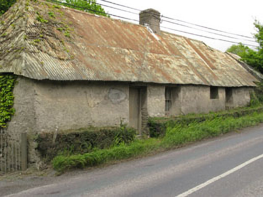 Historic buildingOfficially recorded historic building · 1272 yd
 Furnace in KillanullyFurnace · 1553 yd
 Ballea CastleCastle, tower house · 1.4 mi
 Castle Treasure (Site of)Castle, unclassified · 1.6 mi
 Pauper's GraveyardArchaeological place · 1.6 mi
 Cork WalksVisitor information · 4.6 mi
 Lavitts QuayMemorial · 4.6 mi
 Seefin East TopMountain / peak · 24 mi
 Mount Hillary - Knightfield LoopWalking route · 26 mi
 Killanully church (in Ruins)Church · 1354 yd