What is recorded here
Fairy fort in Kilmessan, County Meath: a raised D-shaped grass area 35m by 32m, bounded by an earthen bank and entered at the south-east. It sits on a narrow spur between two streams, with a separate ring-ditch about 80m to the north. The shape suggests a defended or ceremonial place rather than a casual mound, though no building remains visible.
Situated on a slight S-N spur between S-N stream c. 110m to the W and c. 80m to the E. This is a raised D-shaped and grass-covered area (dims 35m N-S; 32m E-W) defined by an earthen bank (Wth of base 5-9m; int. H 0.2-0.3m; ext. H 1.5-1.7m) with a straight bank at E. there is no visible fosse and the entrance (Wth of base 4m) is at SE. The ring-ditch (ME037-003002-) is c. 80m to the N.
The above description is derived from the published 'Archaeological Inventory of County Meath' (Dublin: Stationery Office, 1987). In certain instances the entries have been revised and updated in the light of recent research.
Compiled by: Michael Moore
Date of revision: 21 August 2019
The monument record does not grant public access. Check the route and ask the landowner before entering private land.
- What survives
- Recorded monument
Places near here
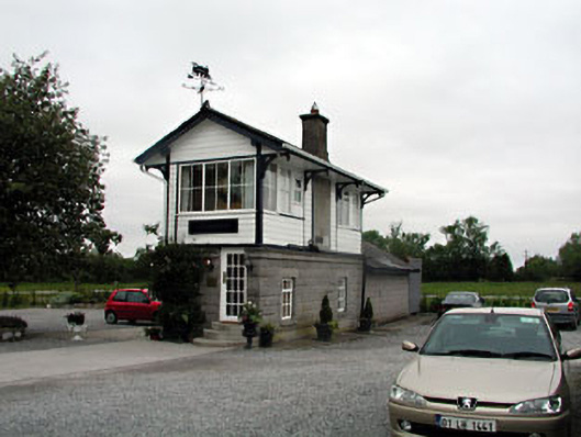 signal boxsignal box · 308 yd
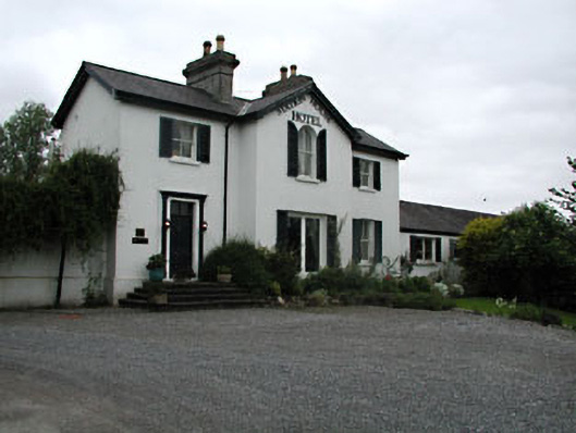 railway stationrailway station · 330 yd
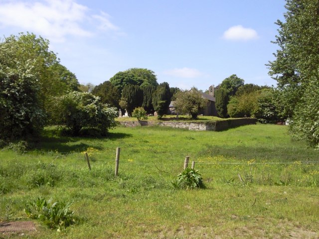 IndicatedGraveyard · 1062 yd
 CastleCastle, unclassified · 1655 yd
 Enclosure in Balreask (deece Lower By.)Enclosure · 1.3 mi
 Beech & Oak WoodWood · 1.7 mi
 CrockaphobbieWood · 1.8 mi
 Assey CastleCastle, tower house · 2.0 mi
 Battle of Tara (Ireland)Major battlefield · 2.3 mi
 Battle of Tara Hillbattle · 2.3 mi
 Saint Patrick'sMemorial · 2.4 mi
 Tara Open StudioGallery · 2.5 mi