What is recorded here
Half of the fort vanished when men cut a road through it. The surviving arc of earth still marks a circle thirty-three metres wide, large enough for a household but small enough to overlook. What remains belongs to neither fairy nor man, but to the boundary between memory and forgetting.
Marked 'Fort' on OS 1836 ed. Raised circular area (int. diam. c. 33m) enclosed by a low, narrow earthen bank and a narrow, shallow trench, both of which survive only from WSW-N-ENE. The remainder of the site was removed during road building. Original entrance not recognisable.
The above description is derived from the published 'Archaeological Inventory of County Cavan' (Dublin: Stationery Office, 1995). In certain instances the entries have been revised and updated in the light of recent research.
Date of upload/revision: 22 December 2008
The monument record does not grant public access. Check the route and ask the landowner before entering private land.
- What survives
- Recorded monument
Places near here
 Church in KilmacnoranChurch · 251 yd
 CastleCastle, unclassified · 1278 yd
 Drumcarn Ho.Castle, unclassified · 1635 yd
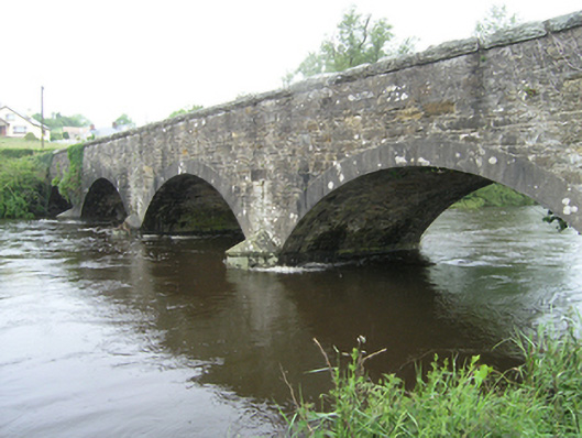 Ballynallon Bridgebridge · 1.1 mi
 CorgarveMountain / peak · 1.2 mi
 ArdamaghMountain / peak · 1.3 mi
 IndicatedFairy fort / earthen ringfort · 1.4 mi
 Ceremonial enclosure in NeddaiaghCeremonial enclosure · 1.6 mi
 Garden IsleIslet · 1.9 mi
 Agroforestry plotForest · 2.1 mi
 Castleterra ForestForest · 2.5 mi
 Giant's GraveArchaeological place · 2.6 mi