What is recorded here
Killycoonagh is a grassy oval fort, thirty-three metres long, wrapped by a mill-race and a wide pond in County Monaghan. People called it a fairy fort, perhaps because the water touched its edge like a living thing and the entrance has vanished beneath grass and age. The fairies may have built it, or they may have simply taken it back when the humans stopped coming.
Located in a low-lying area with a mill-race skirting the perimeter S-W and there was a large mill-pond immediately to the W. It is depicted as an oval wooded feature described in gothic lettering as a ‘fort’ on the 1834 edition of the OS 6-inch map and as an oval hachured feature on the 1907 edition, by which time the mill-race and pond had been built. This is an oval grass-covered area (dims 33.3m NW-SE; 26m NE-SW) defined by an earthen scarp (at W: Wth 1.4m; H 1.7m) and hedge. The original entrance is not identified.
The above description is derived from the published 'Archaeological Inventory of County Monaghan' (Dublin: Stationery Office, 1986). In certain instances the entries have been revised and updated in the light of recent research.
Revised by: Michael Moore
Date of revision: 29 January 2018
The monument record does not grant public access. Check the route and ask the landowner before entering private land.
- What survives
- Recorded monument
Places near here
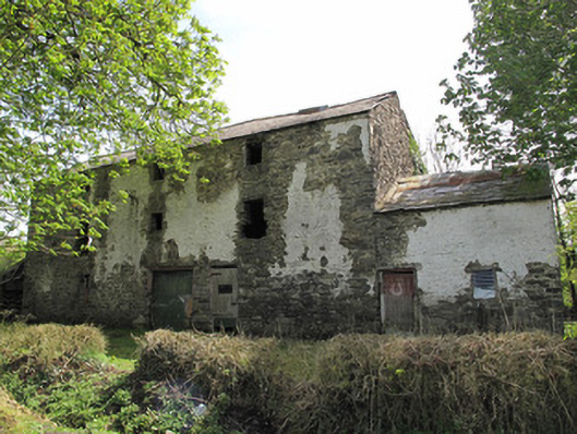 mill (water)mill (water) · 99 yd
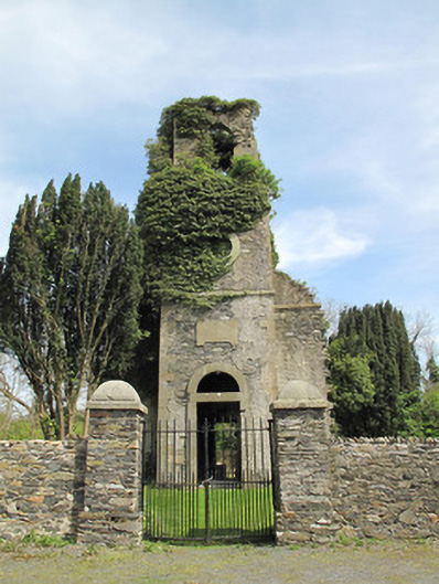 Saint Luke's Church (Killeevan)church/chapel · 631 yd
 Grave YardGraveyard · 742 yd
 Crannog in Drumcaw (dartree By.)Crannog · 773 yd
 Common LimeCommon Lime · 1085 yd
 KillycoonaghWood · 1151 yd
 Saint John's WellSpring · 1495 yd
 Roosky Castle (Site of)Castle, ringwork · 1.7 mi
 Jaundice WellSpring · 1.9 mi
 Lisarrilly HillMountain / peak · 2.1 mi
 Abbey RuinsHeritage attraction · 2.8 mi
 The Cassandra Hand CentreMuseum · 2.9 mi