What is recorded here
Fairy fort / earthen ringfort in Killeenrevagh (kilmaine By.) is a ringfort - rath in County Mayo, Ireland. It is an earthen circle, not a building, and the earth is still the main proof. The clear fact is that people shaped the land into a boundary, and the boundary survived. Everything else is judgment about when, why and who.
In pasture, sited at the break of slope on the E-facing slope of a narrow valley through which a stream flows to NNW. There are good views along the line of the valley and over expanses of pastureland to W and NW.
Raised roughly platform (35.4m NW−SE; 37.6m NE−SW) defined by an earthen scarp. The scarp (H 0.5m; Wth slope 1m at SW) is low and somewhat eroded for most of the circuit, but at NE−SE it converges with the natural fall of ground and here the scarp (H 2.35m at NE; Wth slope 3.8m) is well defined, high and pronounced. The scarp is lowest at N where it forms a slight ramp-like slope, possibly an entrance.
The W half of the interior is fairly level. There is a gentle slope down from centre to E. Relict cultivation ridges traverse the interior on a NNW−SSE axis, most clearly visible in the E half of the interior. There is an opening into a Man-made underground passage (MA111-061002-) in the S half of the interior.
The rath was used as a children’s burial ground (MA111-061003-) and low fieldstone gravemarkers are concentrated in the W half of the interior. A few stones, possibly gravemarkers, are visible in a shallow depression (c. 5m NW−SE; c. 4m NE−SW) located immediately outside the rath, at the foot of the scarp at NW. It is possible that this depression is a remnant of a fosse, but it cannot be traced elsewhere around the circuit.
Compiled by: Jane O'Shaughnessy
Date of upload: 17 February 2023
The monument record does not grant public access. Check the route and ask the landowner before entering private land.
- What survives
- Recorded monument
Places near here
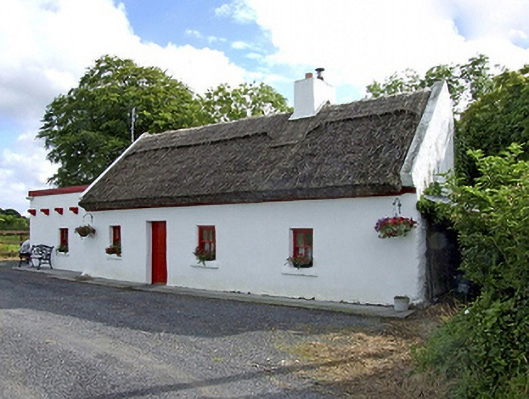 Beech Tree Cottagehouse · 495 yd
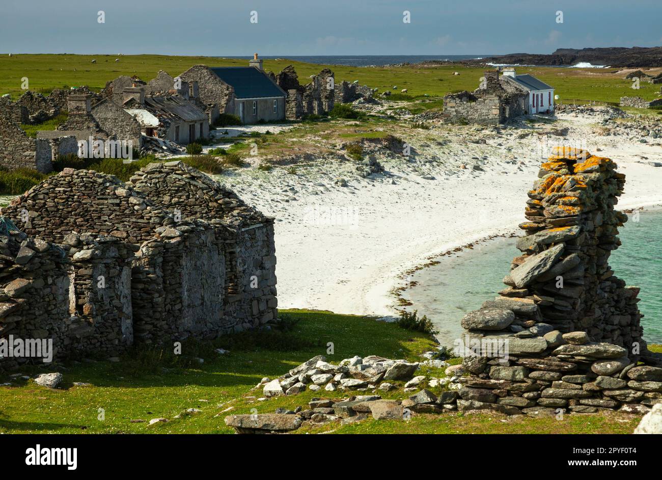 IndicatedEnclosure · 959 yd
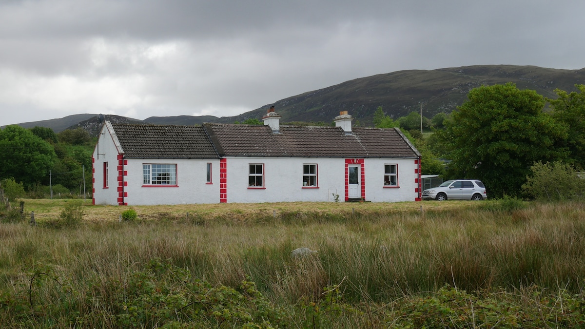
 The Heathfarm house · 1056 yd
 LisnacoolabaunArchaeological place · 1511 yd
 Castle (in ruins)Castle, unclassified · 2.0 mi
 Geoffrey's WoodForest · 2.1 mi
 Bawn in Castlemagarretpark OldBawn · 2.2 mi
 Oak WoodForest · 2.6 mi
 Land of the GiantsHeritage attraction · 4.2 mi
 Mass RockNamed rock · 9.3 mi
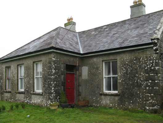 Ballyglass Housefarm house · 1.2 mi
 Knocknaglogh FortFairy fort / ringfort · 1.7 mi