
What is recorded here
Located on a low elevation close to the NW boundary of the townland, in the NW corner of a pasture field, in an area of lowlying, damp pasture. Views are open to NE−E, but are restricted elsewhere by high field fences, and by a forestry plantation located c. 300m to SE.
It is shown on the 1838 OS 6-inch map as an embanked enclosure, and on the 1930 edition as a subcircular enclosure (c. 25m N−S; c. 30m E−W) outlined by a single line of hachuring; named ‘Knocknaglogh Fort’ on both editions.
The remains consist of a roughly oval rise (24.7m NE−SW; c. 17m NW−SE) defined by a partly levelled scarp. On the NW side the scarp is reduced to a broad low slump (H 0.4m; Wth slope c. 5m), and at SSE, where there is a natural fall of ground, it appears almost linear. Heaps of field clearance boulders abut the scarp at ESE. According to local information, there was a children’s burial ground (MA111-044001-) in the interior. Grass cover, with a few hawthorn bushes.
Compiled by: Jane O'Shaughnessy
Date of upload: 21 December 2022
The monument record does not grant public access. Check the route and ask the landowner before entering private land.
- What survives
- Recorded monument
Places near here
 IndicatedFairy fort / earthen ringfort · 443 yd
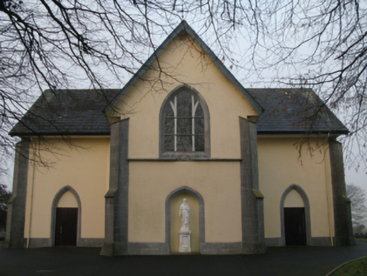 Saint Joseph's Catholic Churchchurch/chapel · 922 yd
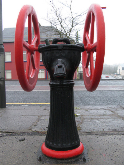 water pumpwater pump · 932 yd
 Enclosure in Ballindine WestEnclosure · 1101 yd
 Oak WoodForest · 1.6 mi
 Bawn in Castlemagarretpark OldBawn · 1.6 mi
 CastlemagarretCastle · 1.6 mi
 Geoffrey's WoodForest · 1.9 mi
 Land of the GiantsHeritage attraction · 3.8 mi
 Mass RockNamed rock · 9.6 mi
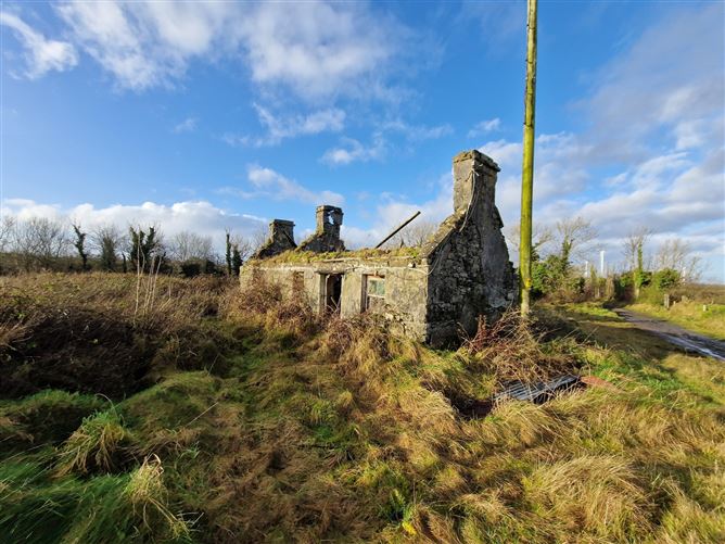 Enclosure in Ballindine NorthEnclosure · 1176 yd
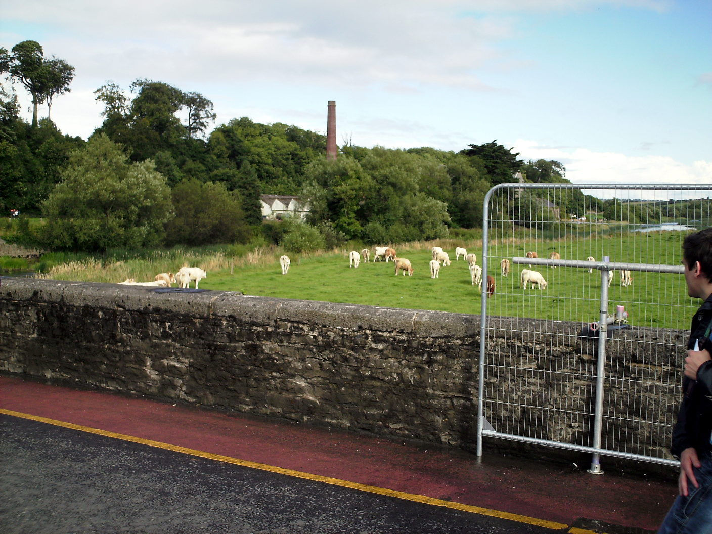 Enclosure in Lugalisheen NorthEnclosure · 1329 yd
Other information
Photo: Credit not shown in the picture search · Rights wording not checked; contact us if this picture should be removed