What is recorded here
Situated on the top of a gentle rise, in gently undulating pasture, with extensive views to E, S and SW. Ringfort (WM025-128----) lies c. 135m to NW. Monument described in 1971 as a roughly circular-shaped area (diam. 25m) enclosed by an inner bank, an intervening fosse and an outer bank. A gap (Wth 4.7m; basal Wth 2.3m) in the inner bank at ESE probably represents the entrance, where the fosse is filled up on either side. The inner bank is steep and is almost reduced to a scarp, where it is visible from W-N-E and is denuded by cultivation elsewhere. There are slight remains of an intervening fosse from NNE-E-S. An outer earthen bank is visible from WNW-W. A later stone wall running ESE-WNW has been built against its outer face. The site is bisected by a modern wall and trench running NNE-SSW which forms a townland boundary. A possible Man-made underground passage (WM025-129001-) is within the NE quadrant.
Compiled by Alison McQueen, Vera Rahilly and Caimin O’Brien.
Date of upload: 24 September 2019
The monument record does not grant public access. Check the route and ask the landowner before entering private land.
- What survives
- Recorded monument
Places near here
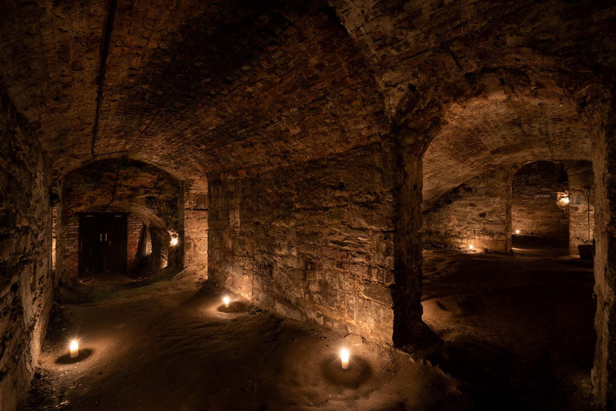 Man-made underground passage in Adamstown (moycashel By.)Man-made underground passage · 9 yd
 bridgebridge · 273 yd
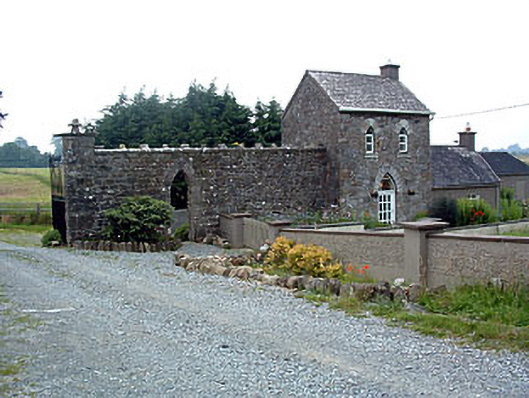 Jamestown Courtgate lodge · 329 yd
 Adamstown Castle (in Ruins)Castle, tower house · 648 yd
 Enclosure in KilleenEnclosure · 764 yd
 Rathdrishoge CastleCastle, unclassified · 1.0 mi
 Hill of UisneachMountain / peak · 3.1 mi
 Sam's ParkForest · 3.3 mi
 European ashEuropean ash · 3.4 mi
 KnockastiaMountain / peak · 4.7 mi
 Moate HillMountain / peak · 9.2 mi
 Charles BianconiMemorial · 9.3 mi