What is recorded here
Killeany More hides a twenty-metre earthen ring beneath dense bushes, its outer bank rising 1.3 metres above a shallow fosse. Humans built that circle before memory, perhaps to keep out rain, wolves or neighbours, while fairies later claimed the forgotten shape. The north-east edge has nearly vanished, smoothed by ploughs or time, leaving a gap where the boundary once closed. What remains is not a puzzle but a invitation: walk the surviving arc, feel the soil resist the boot, and ask what the gap excludes.
In level pasture. Enclosure and area immediately around it are covered by dense overgrowth of trees and bushes. Roughly circular area (diam. c. 20m) enclosed by earthen bank (int. H 1m; ext. H 1.3m) with external fosse (Wth 2m; D 0.6m), except NW->NE where enclosing element almost completely levelled. Field boundary, shown abutting enclosure on S side on 1923 OS 6-inch map, has been removed. Low earthen bank runs S from SE corner of enclosure for 18m before turning at right angle to E and running a further 24m where it ends short of N-S field boundary.
Compiled by: Denis Power
Date of upload: 26 August 2011
This remains an important historical record, but the official description says the monument is no longer visible or has been destroyed. The monument record does not grant public access. Check the route and ask the landowner before entering private land.
- What survives
- No visible remains or recorded as destroyed
Places near here
 Enclosure in Killeany MoreEnclosure · 418 yd
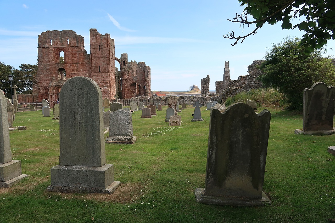 Grave YardGraveyard · 1632 yd
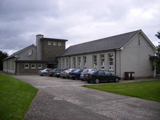 Saint Fergus's National Schoolschool · 1.2 mi
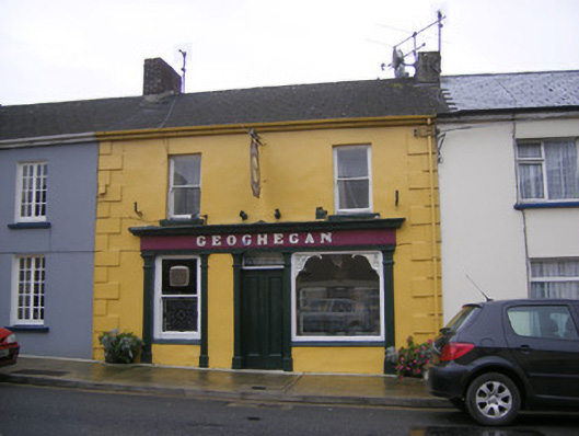 Geogheganhouse · 1.4 mi
 Bawn in Killacolla (barker)Bawn · 1.5 mi
 TobercloonaghSpring · 1.6 mi
 Glin CastleCastle · 1.7 mi
 Prospect HillMountain / peak · 2.0 mi
 Mountshannon WoodWood · 3.2 mi
 Mountshannon PointHeadland · 3.4 mi
 Killanna PointHeadland · 4.1 mi
 Mountshannon EstateHeritage attraction · 4.4 mi