What is recorded here
Killavallig holds a double-ramparted fort where a streamlet still circulates half its fosse, yet overgrowth now blocks the entry. Bowman measured the outer bank at five feet high and eight feet wide before one-third vanished, leaving the inner rampart three feet proud. The site may have served as a defensive stronghold or a boundary marker for local livestock, but its exact purpose remains uncertain. What is clear is that human hands shaped the earth into a circular chamber large enough for forty metres of lived space, then nature began reclaiming the work.
In pasture, on E-facing slope. Circular area (diam. c. 40m) enclosed by two earthen banks and intervening fosse; inaccessible due to overgrowth. Bowman (1934, 40) describes double-ramparted fort (diam. 49yd) with 'about one-third of outer rampart levelled; remaining part about 5ft. high by 8ft. wide. Fosse c. 12ft. wide. Inner rampart c. 3ft. high...streamlet flows [around] half circuit of fosse'.
The above description is derived from the published 'Archaeological Inventory of County Cork. Volume 4: North Cork' (Dublin: Stationery Office, 2000). In certain instances the entries have been revised and updated in the light of recent research.
Date of upload/revision: 14 January 2009
The monument record does not grant public access. Check the route and ask the landowner before entering private land.
- What survives
- Recorded monument
Places near here
 ListeigeFairy fort / earthen ringfort · 161 yd
 Burial ground in AssolasBurial ground · 511 yd
 Enclosure in GlenlohaneEnclosure · 581 yd
 KilnKiln, unclassified · 763 yd
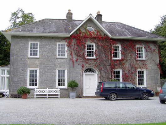 Glenlohane Househouse · 786 yd
 European YewEuropean Yew · 909 yd
 Ballyheen Castle (Site of)Castle, unclassified · 1662 yd
 Castle Magner (in Ruins)Bawn · 1.5 mi
 Kanturk CastleHeritage attraction · 2.3 mi
 St Fursey's WellSpring · 2.4 mi
 Hanna SheehyMemorial · 2.6 mi
 Mount Hillary - Knightfield LoopWalking route · 3.5 mi