What is recorded here
In tillage, cropmark of sub-circular area (43m N-S; 37m E-W) defined by a ditch visible on Apple Maps imagery. Enclosure (CO023-179----) is c. 50m to NW.
From the National Monuments Service (Archaeological Survey of Ireland) record CO023-340
The monument record does not grant public access. Check the route and ask the landowner before entering private land.
- What survives
- Recorded monument
Places near here
Photo credits
- National Inventory of Architectural Heritage
- Sitomon, Wikimedia Commons · CC BY-SA 2.0
- Mike Searle, Geograph · CC BY-SA 2.0
- The Speckled Bird, Wikimedia Commons · CC BY-SA 4.0
- Jonathan Thacker, Geograph · CC BY-SA 2.0
- Maker shown on the Wikimedia Commons file page · CC BY-SA 3.0
IndicatedEnclosure · 70 yd Glenlohane HouseHouse · 275 ydListeigeFairy fort / earthen ringfort · 422 ydEuropean Yew1064 ydEuropean Yew1074 ydAssolas HouseCountry house · 1083 ydCastle Magner (in Ruins)Bawn · 1.7 miCastle Magner (in Ruins)Castle, tower house · 1.7 miKanturk CastleHeritage attraction · 2.2 miMount Hillary - Father Murphy LoopWalking route · 4.1 miMount HillaryMountain / peak · 4.5 miBattle of KnocknaclashyBattle · 6.4 mi
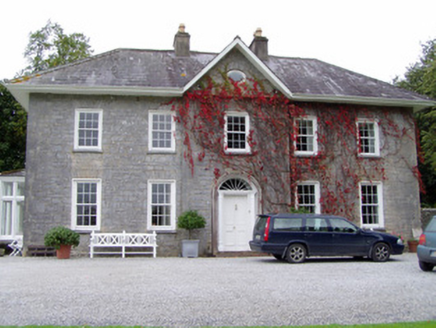 Glenlohane HouseHouse · 275 ydListeigeFairy fort / earthen ringfort · 422 yd
 European Yew1064 ydEuropean Yew1074 yd
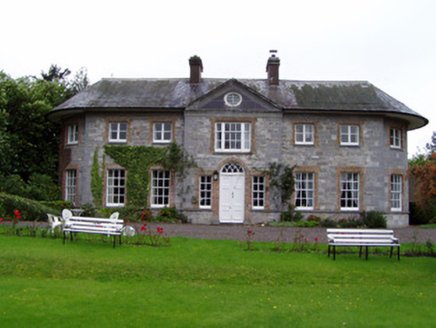 Assolas HouseCountry house · 1083 yd
 Castle Magner (in Ruins)Bawn · 1.7 mi
 Castle Magner (in Ruins)Castle, tower house · 1.7 mi
 Kanturk CastleHeritage attraction · 2.2 mi
 Mount Hillary - Father Murphy LoopWalking route · 4.1 mi
 Mount HillaryMountain / peak · 4.5 mi
 Battle of KnocknaclashyBattle · 6.4 mi
More archaeology and monuments in County Cork · All of County Cork
What do you know about this place?