What is recorded here
An ITA survey (1942) mentions 'a rath at Killamoate in a field south of the Church. It is a square shaped piece of uncultivated land with a thorn bush, in the centre of a field of oats. A former landlord, Mr. Wesby, offered to plough it one time but the two horses dropped dead'. Though in the general area S of the church at Killamoat Lower, the precise location of this monument is unknown.
Compiled by: Jean Farrelly
Date of upload: 17 September 2012
The monument record does not grant public access. Check the route and ask the landowner before entering private land.
- What survives
- Recorded monument
Places near here
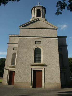 Saint Mary's Catholic Churchchurch/chapel · 510 yd
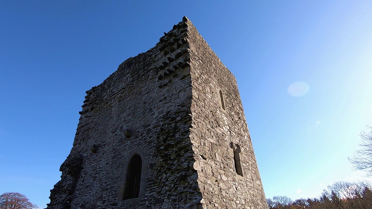 CastleCastle, motte · 600 yd
 IndicatedFairy fort / earthen ringfort · 1197 yd
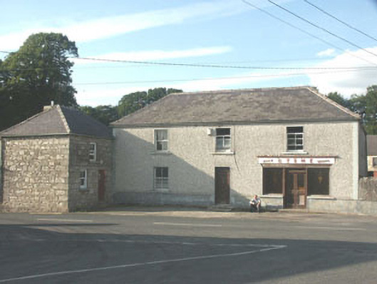 Byrnehouse · 1582 yd
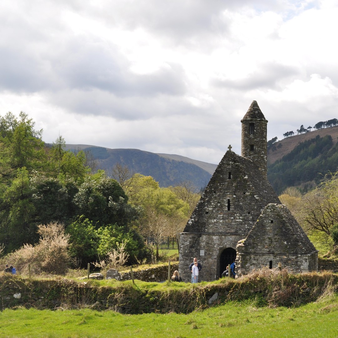 ToberowenHoly well · 1685 yd
 Sessile OakSessile Oak · 1.2 mi
 Chapel (in ruins), GraveyardChurch · 2.8 mi
 SlievereaghMountain / peak · 2.9 mi
 Keadeen MountainMountain / peak · 3.4 mi
 European BeechEuropean Beech · 3.4 mi
 Dwyer McAllister CottageMuseum · 3.9 mi
 The Black StairsNamed rock · 4.3 mi